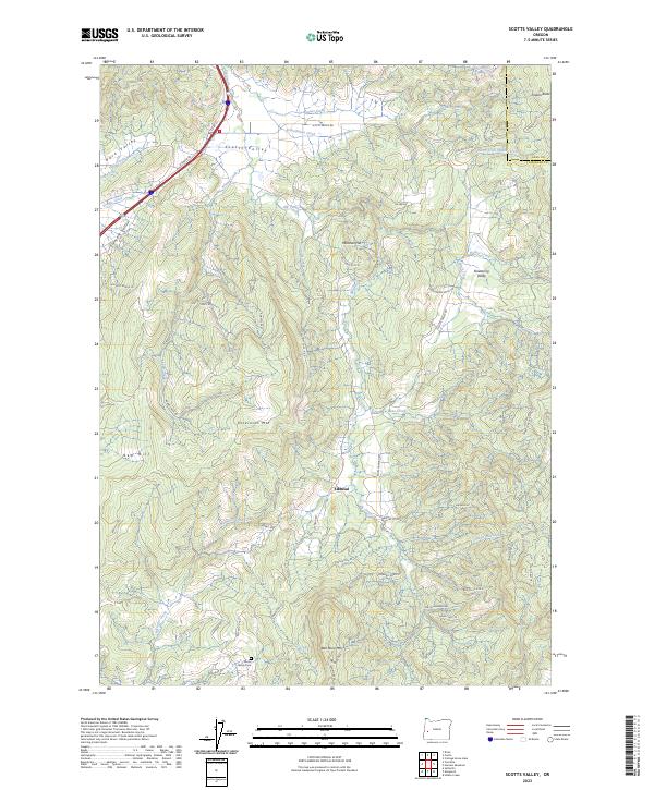
2023 Map of Scotts Valley
USGS Topo · Published 2023About this map
Scotts Valley and the surrounding drainage of Elk Creek characterize this pocket of Douglas County, where the landscape is defined by a series of parallel valleys and significant ridges. The small settlement of Elkhead sits at a junction of forest roads, serving as a focal point for a region historically tied to timber and rural homesteads. Genealogy researchers will find the Harris Family Cem near the southern boundary, a quiet marker of the families who settled this challenging terrain. The map details a complex network of resource roads, such as Adams Creek Rd and Shoestring Rd, which navigate the steep ascents to Dickinson Mtn and Ben More Mtn. These ridges separate distinct geographic areas like Shoestring Valley and Pleasant Valley, illustrating the compartmentalized nature of early habitation in the Oregon Coast Range foothills.
Find a feature on this map
66 named features on this map. Tap any name to fly to it.
Don’t see what you’re looking for? This feature index may not catch every label — zoom into the map to look around manually.
Map Details
Editions of this 2023 Scotts Valley Map
This is the sole edition of this map. No revisions or reprints were ever made.
Other maps of this area

1897 · Roseburg
USGS Topo · 1:125,000

1900 · Roseburg
USGS Topo · 1:125,000

1954 · Sutherlin
USGS Topo · 1:62,500

1954 · Drain
USGS Topo · 1:62,500

1954 · Anlauf
USGS Topo · 1:62,500

1954 · Glide
USGS Topo · 1:62,500

1958 · Roseburg
USGS Topo · 1:250,000

1959 · Roseburg
USGS Topo · 1:250,000

1979 · Roseburg
USGS Topo · 1:100,000

1979 · Cottage Grove
USGS Topo · 1:100,000