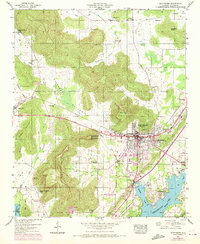
1947 Map of Scottsboro
USGS Topo · Published 1972About this map
Scottsboro serves as the focal point for this 1947 Tennessee Valley Authority survey, which was later updated with 1970 photogrammetric data. The landscape is defined by the expansion of Guntersville Lake to the south and the dramatic topography of Cotton Mountain and Poorhouse Mtn. Local infrastructure is well-documented, showing the Southern railroad line passing through the town center and several civic institutions like the Tri-Counties Tuberculosis Sanatorium and Jackson County Hospital.
Find a feature on this map
57 named features on this map. Tap any name to fly to it.
Don’t see what you’re looking for? This feature index may not catch every label — zoom into the map to look around manually.
Map Details
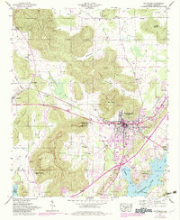
Editions of this 1947 Scottsboro Map
2 editions found
Other maps of this area

1886 · Stevenson
USGS Topo · 1:125,000

1888 · Scottsboro
USGS Topo · 1:125,000

1892 · Scottsboro
USGS Topo · 1:125,000

1892 · Stevenson
USGS Topo · 1:125,000

1895 · Stevenson
USGS Topo · 1:125,000

1936 · Scottsboro
USGS Topo · 1:24,000

1936 · Wannville
USGS Topo · 1:24,000

1936 · Langston
USGS Topo · 1:24,000

1936 · Mud Creek
USGS Topo · 1:24,000

1936 · Dutton
USGS Topo · 1:24,000