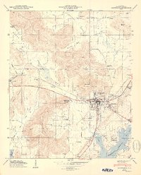
1950 Map of Scottsboro
USGS Topo · Published 1950About this map
Scottsboro serves as the focal point of this 1950 Tennessee Valley Authority and Geological Survey study, situated at the edge of the rising Guntersville Reservoir. The landscape is defined by the sharp transition from the broad Roseberry Bottoms and the sprawling waters of the reservoir to the high terrain of July Mountain and Cotton Mountain. The Southern railroad line cuts across the valley, connecting the town to the western settlement of Larkinsville.
Find a feature on this map
49 named features on this map. Tap any name to fly to it.
Don’t see what you’re looking for? This feature index may not catch every label — zoom into the map to look around manually.
Map Details
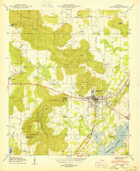
Editions of this 1950 Scottsboro Map
2 editions found
Other maps of this area

1886 · Stevenson
USGS Topo · 1:125,000

1888 · Scottsboro
USGS Topo · 1:125,000

1892 · Scottsboro
USGS Topo · 1:125,000

1892 · Stevenson
USGS Topo · 1:125,000

1895 · Stevenson
USGS Topo · 1:125,000

1936 · Scottsboro
USGS Topo · 1:24,000

1936 · Wannville
USGS Topo · 1:24,000

1936 · Langston
USGS Topo · 1:24,000

1936 · Mud Creek
USGS Topo · 1:24,000

1936 · Dutton
USGS Topo · 1:24,000