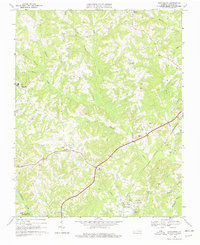
1968 Map of Scottsburg
USGS Topo · Published 1978About this map
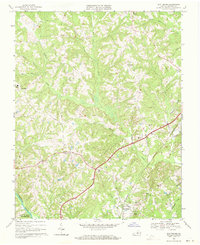
The Southern railroad line anchors the economic and spatial layout of this Halifax County landscape, connecting the primary settlement of Scottsburg with smaller communities like Midway. The terrain is defined by a dense network of winding waterways including Difficult Creek, Gibson Creek, and Long Branch, which carve through the countryside before reaching the Banister River and the northern edge of the John H Kerr Reservoir.
Find a feature on this map
32 named features on this map. Tap any name to fly to it.
Don’t see what you’re looking for? This feature index may not catch every label — zoom into the map to look around manually.
Map Details
Editions of this 1968 Scottsburg Map
2 editions found
Other maps of this area

1941 · Clarksville
USGS Topo · 1:48,000

1943 · Clarksville
USGS Topo · 1:62,500

1953 · South Boston
USGS Topo · 1:62,500

1953 · Greensboro
USGS Topo · 1:250,000

1954 · Greensboro
USGS Topo · 1:250,000

1954 · Clover
USGS Topo · 1:62,500

1954 · Halifax
USGS Topo · 1:62,500

1957 · South Boston
USGS Topo · 1:62,500

1957 · Clarksville
USGS Topo · 1:62,500

1962 · Greensboro
USGS Topo · 1:250,000