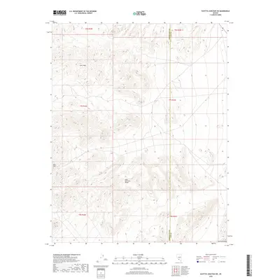
2018 Map of Scottys Junction SW
USGS Topo · Published 2018About this map
The Gold Mountain Range dominates this landscape along the border of Esmeralda and Nye counties, providing a clear view of the high desert terrain of southern Nevada in 2018. The topographic detail follows the complex contours of the mountains, which include the prominent Slate Ridge in the northern portion of the quadrangle. In the southwestern corner, the terrain drops significantly near the landmark of Hells Gate, marking a sharp transition in the desert floor. This modern survey maps the geological interface between these ridges and the northern edges of the Amargosa Range, reflecting a largely unpopulated region where the natural topography remains the primary feature of interest for land management and geological study.
Find a feature on this map
11 named features on this map. Tap any name to fly to it.
Don’t see what you’re looking for? This feature index may not catch every label — zoom into the map to look around manually.
Map Details
Editions of this 2018 Scottys Junction SW Map
This is the sole edition of this map. No revisions or reprints were ever made.
Other maps of this area

1908 · Lida
USGS Topo · 1:250,000

1913 · Lida
USGS Topo · 1:250,000

1954 · Goldfield
USGS Topo · 1:250,000

1955 · Goldfield
USGS Topo · 1:250,000

1957 · Ubehebe Crater
USGS Topo · 1:62,500

1958 · Goldfield
USGS Topo · 1:250,000

1962 · Goldfield
USGS Topo · 1:250,000

1968 · Stonewall Pass
USGS Topo · 1:24,000
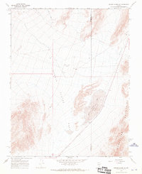
1968 · Bonnie Claire NW
USGS Topo · 1:24,000
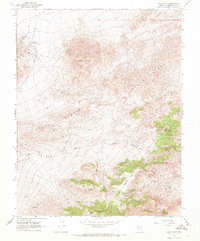
1968 · Gold Point
USGS Topo · 1:24,000