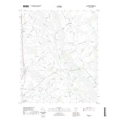
2020 Map of Scranton
USGS Topo · Published 2020About this map
The Lynches River dominates the landscape of this Florence County region, weaving through a series of distinctive Carolina bays and wetland depressions such as Nettles Bay and Cockfield Bay. The corridor between Scranton and Lake City is defined by its deep agricultural and transportation roots, anchored by the CSX railroad line and a network of historic rural crossroads. This 2020 record captures the area's intricate burial history, showing numerous small family and community cemeteries like Old Liberty Cem and Saint Johns Cem scattered across the coastal plain. Notable landmarks include the Cockfield Aerodrome and several river crossings such as Bass Bridge and Anderson Bridge. The map detail reflects a landscape where traditional settlements like Friendfield and Coward maintain their identity alongside managed drainage features like the High Hill Drainage Canal.
Find a feature on this map
129 named features on this map. Tap any name to fly to it.
Don’t see what you’re looking for? This feature index may not catch every label — zoom into the map to look around manually.
Map Details
Editions of this 2020 Scranton Map
This is the sole edition of this map. No revisions or reprints were ever made.
Other maps of this area

1940 · Florence West
USGS Topo · 1:62,500

1940 · Florence East
USGS Topo · 1:62,500

1945 · Florence East
USGS Topo · 1:62,500

1945 · Florence West
USGS Topo · 1:62,500

1946 · Hyman
USGS Topo · 1:62,500

1946 · Lake City
USGS Topo · 1:62,500

1949 · Georgetown
USGS Topo · 1:250,000

1953 · Florence
USGS Topo · 1:250,000

1954 · Florence
USGS Topo · 1:250,000

1967 · Georgetown
USGS Topo · 1:250,000