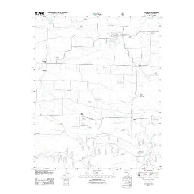
2011 Map of Scranton
USGS Topo · Published 2011About this map
Scranton is the central hub of this northern Logan County landscape, which transitions from the flatlands around Owens Lake to the more varied elevations of Prairie View Mountain and Rich Mountain. The map reveals a dense network of family and local history markers, particularly the numerous rural cemeteries like Saint Ignatius Cemetery and Saint Meinrads Cemetery that anchor the small communities of Prairie View and Midway.
Find a feature on this map
66 named features on this map. Tap any name to fly to it.
Don’t see what you’re looking for? This feature index may not catch every label — zoom into the map to look around manually.
Map Details
Editions of this 2011 Scranton Map
This is the sole edition of this map. No revisions or reprints were ever made.
Other maps of this area

1879 · Mountain Home
USGS Topo · 1:62,500
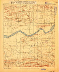
1887 · Magazine Mountain #1
USGS Topo · 1:62,500
1887 · Magazine Mountain #4
USGS Topo · 1:62,500

1887 · Magazine Mountain
USGS Topo · 1:62,500
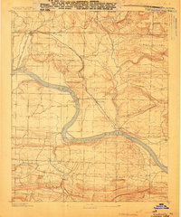
1888 · Dardanelle #2
USGS Topo · 1:62,500
1888 · Dardanelle #3
USGS Topo · 1:62,500

1890 · Magazine Mountain
USGS Topo · 1:125,000

1890 · Dardanelle
USGS Topo · 1:125,000

1956 · Russellville
USGS Topo · 1:250,000
1961 · Coal Hill
USGS Topo · 1:24,000