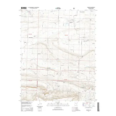
2014 Map of Scranton
USGS Topo · Published 2014About this map
Scranton and Subiaco anchor this Logan County landscape just south of Lake Dardanelle, where the agricultural river valley meets the northern ridges of the Ozark National Forest. The map reveals a dense network of family and community history, evidenced by numerous small burial grounds such as Stony Point Cem and Saint Meinrads Cem near Prairie View. The terrain transitions from the lowlands of Cane Cr and Pee Dee Cr to the prominent heights of Pine Ridge Mtn and Huckleberry Mtn in the south. This era shows a mix of traditional land use and modern energy extraction, highlighted by the Prairie View Gas Field and the secluded valley settlements of Greasy Valley and Saint Louis Valley. These features define a rural Arkansas community where historical farm-to-market roads like Old Military Rd still trace the contours of the local topography.
Find a feature on this map
94 named features on this map. Tap any name to fly to it.
Don’t see what you’re looking for? This feature index may not catch every label — zoom into the map to look around manually.
Map Details
Editions of this 2014 Scranton Map
This is the sole edition of this map. No revisions or reprints were ever made.
Other maps of this area

1879 · Mountain Home
USGS Topo · 1:62,500

1887 · Magazine Mountain #1
USGS Topo · 1:62,500

1887 · Magazine Mountain #4
USGS Topo · 1:62,500

1887 · Magazine Mountain
USGS Topo · 1:62,500

1888 · Dardanelle #2
USGS Topo · 1:62,500

1888 · Dardanelle #3
USGS Topo · 1:62,500

1890 · Magazine Mountain
USGS Topo · 1:125,000

1890 · Dardanelle
USGS Topo · 1:125,000

1956 · Russellville
USGS Topo · 1:250,000

1961 · Coal Hill
USGS Topo · 1:24,000