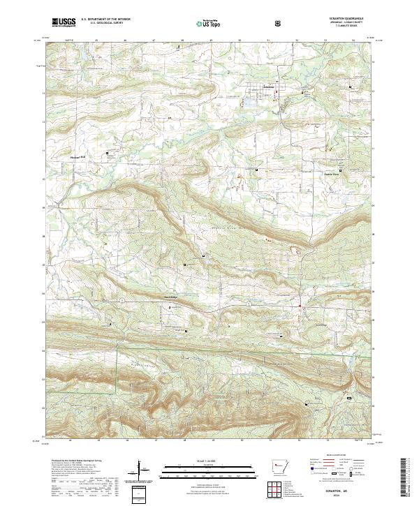
2024 Map of Scranton
USGS Topo · Published 2024About this map
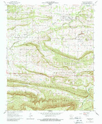
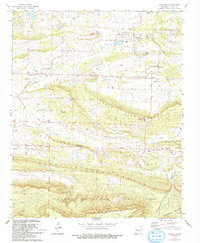
Scranton serves as a central hub in Logan County, where residential streets like Cherry St and Elm St meet Main St. The town is flanked by a high concentration of community cemeteries, including Saint Ignatius Cem and Stony Point Cem, reflecting the deep-rooted family history of this rural region. The landscape transitions from the developed grid of Scranton to the significant topographic rises of Prairie View Mtn and Rich Mtn, the latter situated within the protected bounds of the Ozark National Forest.
Find a feature on this map
92 named features on this map. Tap any name to fly to it.
Don’t see what you’re looking for? This feature index may not catch every label — zoom into the map to look around manually.
Map Details
Editions of this 2024 Scranton Map
This is the sole edition of this map. No revisions or reprints were ever made.