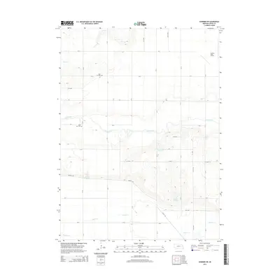
2014 Map of Scribner SW
USGS Topo · Published 2014About this map
Maple Creek and Silver Cr wind through this rural section of Dodge County, where the landscape is defined by its agricultural grid and water management. The survey documents a network of county roads like CR-11 and CR-21 that connect scattered farmsteads and local landmarks. Several significant water features appear, including the Paulson-Glodowski Reservoir, Pollard Reservoir, and Brush Cr Reservoir, highlighting the area's irrigation and drainage infrastructure. For those researching local heritage, the map identifies Saint Marys Cem and Maple Grove Cem, providing exact locations for these genealogical sites. The presence of the Scribner State Airport in the northeast corner and the course of Rawhide Cr in the south further establish the regional topography, illustrating the intersection of transportation and natural drainage in the Nebraska heartland during the early 2010s.
Find a feature on this map
33 named features on this map. Tap any name to fly to it.
Don’t see what you’re looking for? This feature index may not catch every label — zoom into the map to look around manually.
Map Details
Editions of this 2014 Scribner SW Map
This is the sole edition of this map. No revisions or reprints were ever made.
Other maps of this area

1899 · Wahoo
USGS Topo · 1:125,000

1955 · Fremont
USGS Topo · 1:250,000

1957 · Fremont
USGS Topo · 1:250,000

1958 · Fremont
USGS Topo · 1:250,000

1966 · Scribner SW
USGS Topo · 1:24,000

1966 · Uehling
USGS Topo · 1:24,000

1966 · Webster
USGS Topo · 1:24,000

1966 · Hooper
USGS Topo · 1:24,000

1966 · Snyder
USGS Topo · 1:24,000

1966 · Scribner
USGS Topo · 1:24,000