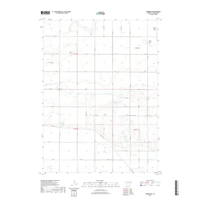
2017 Map of Scribner SW
USGS Topo · Published 2017About this map
Saint Marys Cem and Maple Grove Cem stand as quiet markers of the rural community near the winding path of Maple Creek. This section of Dodge County is defined by a systematic grid of county roads that navigate a landscape shaped by tributary drainage, including Silver Cr to the north and Rawhide Cr in the south. The area’s water management is evident in the presence of several named impoundments, such as Paulson-Glodowski Reservoir, Brush Cr Reservoir, and Pollard Reservoir.
Find a feature on this map
37 named features on this map. Tap any name to fly to it.
Don’t see what you’re looking for? This feature index may not catch every label — zoom into the map to look around manually.
Map Details
Editions of this 2017 Scribner SW Map
This is the sole edition of this map. No revisions or reprints were ever made.
Other maps of this area

1899 · Wahoo
USGS Topo · 1:125,000

1955 · Fremont
USGS Topo · 1:250,000

1957 · Fremont
USGS Topo · 1:250,000

1958 · Fremont
USGS Topo · 1:250,000

1966 · Scribner SW
USGS Topo · 1:24,000

1966 · Uehling
USGS Topo · 1:24,000

1966 · Webster
USGS Topo · 1:24,000

1966 · Hooper
USGS Topo · 1:24,000

1966 · Snyder
USGS Topo · 1:24,000

1966 · Scribner
USGS Topo · 1:24,000