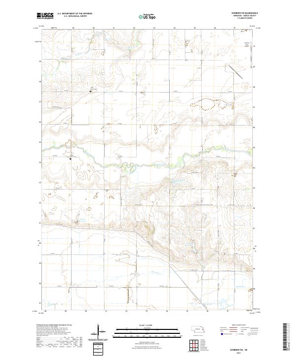
2021 Map of Scribner SW
USGS Topo · Published 2021About this map
Maple Creek meanders through this portion of Dodge County, defining a landscape of agricultural sections and water management. The area is characterized by a series of engineered water bodies, including Paulson-Glodowski Reservoir, Pollard Reservoir, and Brush Cr Reservoir, which support the local drainage system alongside Silver Cr and Rawhide Cr. These features highlight the importance of water control in this rural Nebraska territory.
Find a feature on this map
39 named features on this map. Tap any name to fly to it.
Don’t see what you’re looking for? This feature index may not catch every label — zoom into the map to look around manually.
Map Details
Editions of this 2021 Scribner SW Map
This is the sole edition of this map. No revisions or reprints were ever made.
Other maps of this area

1899 · Wahoo
USGS Topo · 1:125,000

1955 · Fremont
USGS Topo · 1:250,000

1957 · Fremont
USGS Topo · 1:250,000

1958 · Fremont
USGS Topo · 1:250,000

1966 · Scribner SW
USGS Topo · 1:24,000

1966 · Uehling
USGS Topo · 1:24,000

1966 · Webster
USGS Topo · 1:24,000

1966 · Hooper
USGS Topo · 1:24,000

1966 · Snyder
USGS Topo · 1:24,000

1966 · Scribner
USGS Topo · 1:24,000