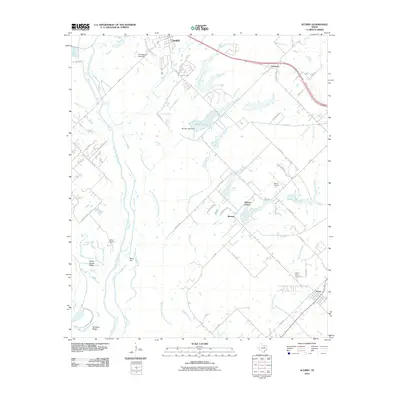
2010 Map of Scurry
USGS Topo · Published 2010About this map
The East Fork Trinity River flows through the western portion of this Kaufman County region, creating a wide floodplain marked by the Old Channel East Fork Trinity River and Pecon Slough. The landscape is a mix of small community centers and rural infrastructure, including the Thunderbird Racetrack in the north and Baum Airport near the center. The settlement of Scurry sits in the southeast, while Crandall and Gastonia anchor the northern reaches near the river's upper branches.
Find a feature on this map
49 named features on this map. Tap any name to fly to it.
Don’t see what you’re looking for? This feature index may not catch every label — zoom into the map to look around manually.
Map Details
Editions of this 2010 Scurry Map
This is the sole edition of this map. No revisions or reprints were ever made.
Other maps of this area

1891 · Dallas
USGS Topo · 1:125,000

1893 · Dallas
USGS Topo · 1:125,000

1954 · Dallas
USGS Topo · 1:250,000
1956 · Ennis
USGS Topo · 1:62,500
1956 · Kaufman
USGS Topo · 1:62,500

1958 · Dallas
USGS Topo · 1:250,000
1959 · Seagoville
USGS Topo · 1:24,000
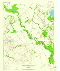
1959 · India
USGS Topo · 1:24,000
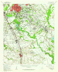
1959 · Seagoville
USGS Topo · 1:62,500
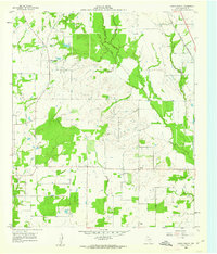
1960 · Grays Prairie
USGS Topo · 1:24,000