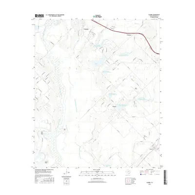
2016 Map of Scurry
USGS Topo · Published 2016About this map
Mount Olive Cem serves as a silent witness to the generations who settled this Kaufman County landscape along the Cottonwood Cr drainage. The map reveals a region defined by extensive hydrological management, evidenced by numerous numbered reservoirs like Soil Conservation Service Site 10 Reservoir and Soil Conservation Service Site 6 Reservoir. These structures surround the small communities of Scurry, Warsaw, and Gastonia, which are connected by a network of farm-to-market roads and the prominent corridor of W Us HWY 175.
Find a feature on this map
87 named features on this map. Tap any name to fly to it.
Don’t see what you’re looking for? This feature index may not catch every label — zoom into the map to look around manually.
Map Details
Editions of this 2016 Scurry Map
This is the sole edition of this map. No revisions or reprints were ever made.
Other maps of this area

1891 · Dallas
USGS Topo · 1:125,000

1893 · Dallas
USGS Topo · 1:125,000

1954 · Dallas
USGS Topo · 1:250,000

1956 · Ennis
USGS Topo · 1:62,500

1956 · Kaufman
USGS Topo · 1:62,500

1958 · Dallas
USGS Topo · 1:250,000

1959 · Seagoville
USGS Topo · 1:24,000

1959 · India
USGS Topo · 1:24,000

1959 · Seagoville
USGS Topo · 1:62,500

1960 · Grays Prairie
USGS Topo · 1:24,000