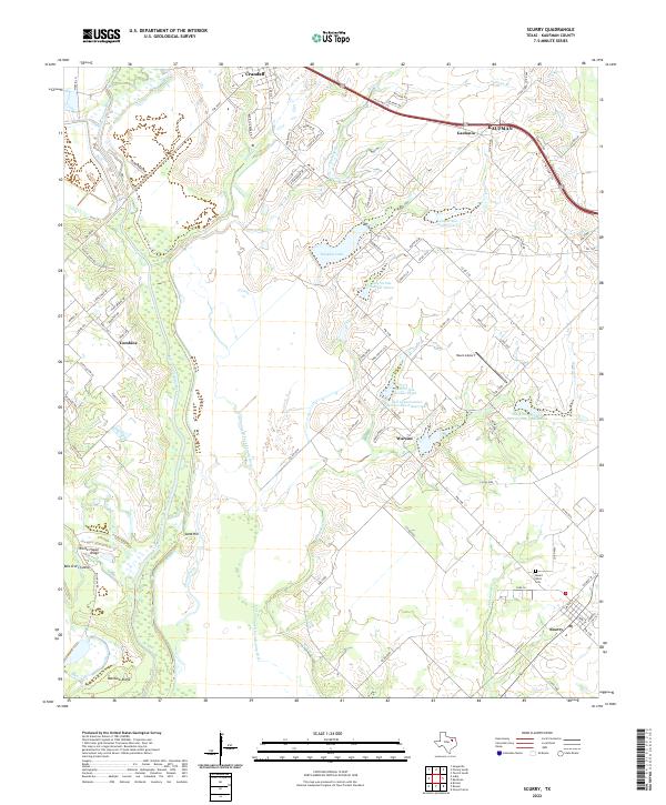
2022 Map of Scurry
USGS Topo · Published 2022About this map
The East Fork Trinity River dominates the western edge of this Kaufman County landscape, its meandering path creating complex wetlands and sloughs. The area is defined by the contrast between the low-lying river bottom—featuring Bois D'Arc Island and Pecan Slough—and the slightly elevated ridges such as White House Ridge and Rainbow Ridge. The Old Channel East Fork Trinity River remains visible, tracing the historical flow of the water before natural shifts or human intervention altered its course.
Find a feature on this map
90 named features on this map. Tap any name to fly to it.
Don’t see what you’re looking for? This feature index may not catch every label — zoom into the map to look around manually.
Map Details
Editions of this 2022 Scurry Map
This is the sole edition of this map. No revisions or reprints were ever made.
Other maps of this area

1891 · Dallas
USGS Topo · 1:125,000

1893 · Dallas
USGS Topo · 1:125,000

1954 · Dallas
USGS Topo · 1:250,000

1956 · Ennis
USGS Topo · 1:62,500

1956 · Kaufman
USGS Topo · 1:62,500

1958 · Dallas
USGS Topo · 1:250,000

1959 · Seagoville
USGS Topo · 1:24,000

1959 · India
USGS Topo · 1:24,000

1959 · Seagoville
USGS Topo · 1:62,500

1960 · Grays Prairie
USGS Topo · 1:24,000