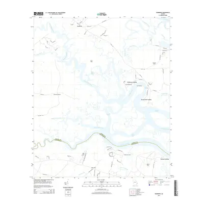
2014 Map of Seabrook
USGS Topo · Published 2014About this map
The North Newport River and South Newport River dominate this coastal Georgia landscape, defining a complex network of salt marshes, tidal creeks, and hammocks. Small settlements and landings like Halfmoon Landing and Drum Point Landing serve as critical access points to the water, reflecting a long-standing coastal economy centered on navigation and fishing. The boundary between Liberty Co and McIntosh Co snakes through the southern reaches of the map, following the winding course of the river channels.
Find a feature on this map
73 named features on this map. Tap any name to fly to it.
Don’t see what you’re looking for? This feature index may not catch every label — zoom into the map to look around manually.
Map Details
Editions of this 2014 Seabrook Map
This is the sole edition of this map. No revisions or reprints were ever made.
Other maps of this area

1920 · Sapelo River
USGS Topo · 1:62,500

1920 · Limerick
USGS Topo · 1:62,500

1928 · St Catherines Island
USGS Topo · 1:62,500

1943 · St Catherines Island
USGS Topo · 1:62,500

1943 · Sapelo River
USGS Topo · 1:62,500

1944 · Limerick
USGS Topo · 1:62,500

1944 · Ossabaw Island
USGS Topo · 1:62,500

1945 · St. Catherine's Island
USGS Topo · 1:62,500

1945 · Ossabaw Island
USGS Topo · 1:62,500

1945 · Sapelo River
USGS Topo · 1:62,500