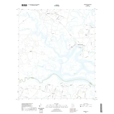
2020 Map of Seabrook
USGS Topo · Published 2020About this map
Halfmoon Landing and the winding reaches of the North Newport River define this coastal Georgia landscape along the border of Liberty and McIntosh Counties. The terrain is a complex network of saltwater marshes, tidal creeks like Carrs Neck Creek, and established landings that speak to a long history of river-based commerce and travel. On the northern end, the settlement of Seabrook is connected via the Islands HWY, while to the south, Harris Neck and Eagle Neck represent distinct points of land protruding into the surrounding wetlands and rivers.
Find a feature on this map
72 named features on this map. Tap any name to fly to it.
Don’t see what you’re looking for? This feature index may not catch every label — zoom into the map to look around manually.
Map Details
Editions of this 2020 Seabrook Map
This is the sole edition of this map. No revisions or reprints were ever made.
Other maps of this area

1920 · Sapelo River
USGS Topo · 1:62,500

1920 · Limerick
USGS Topo · 1:62,500

1928 · St Catherines Island
USGS Topo · 1:62,500

1943 · St Catherines Island
USGS Topo · 1:62,500

1943 · Sapelo River
USGS Topo · 1:62,500

1944 · Limerick
USGS Topo · 1:62,500

1944 · Ossabaw Island
USGS Topo · 1:62,500

1945 · St. Catherine's Island
USGS Topo · 1:62,500

1945 · Ossabaw Island
USGS Topo · 1:62,500

1945 · Sapelo River
USGS Topo · 1:62,500