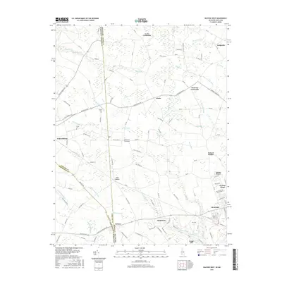
2016 Map of Seaford West
USGS Topo · Published 2016About this map
The Seaford vicinity along the Delaware-Maryland border is defined by an intricate network of waterways draining the Delmarva Peninsula. This survey tracks the transition from the structured residential expansions of Atlanta Estates and Heritage Village into the agricultural and marshy lowlands of Sussex County. Local history is anchored at sites like Craigs Mill and Craigs Pond in the south, while several rural junctions such as Clarksons Crossroads and Jacobs Crossroads mark the points of early settlement and commerce.
Find a feature on this map
131 named features on this map. Tap any name to fly to it.
Don’t see what you’re looking for? This feature index may not catch every label — zoom into the map to look around manually.
Map Details
Editions of this 2016 Seaford West Map
This is the sole edition of this map. No revisions or reprints were ever made.
Other maps of this area

1905 · Denton
USGS Topo · 1:62,500

1905 · Hurlock
USGS Topo · 1:62,500

1915 · Seaford
USGS Topo · 1:62,500

1918 · Harrington
USGS Topo · 1:62,500

1944 · Federalsburg
USGS Topo · 1:31,680

1944 · Seaford
USGS Topo · 1:62,500

1944 · Hobbs
USGS Topo · 1:31,680
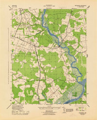
1944 · Rhodesdale
USGS Topo · 1:31,680
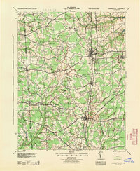
1944 · Harrington
USGS Topo · 1:62,500

1946 · Salisbury
USGS Topo · 1:250,000