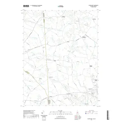
2019 Map of Seaford West
USGS Topo · Published 2019About this map
The Maryland Delaware border defines the western half of this landscape, where the agricultural plains of Sussex County meet the eastern edges of Caroline and Dorchester counties. Small farming communities and crossroads like Atlanta, Oak Grove, and Reliance are linked by a dense network of country roads, while the western outskirts of Seaford anchor the southeastern corner near Branchview. The terrain is intricately drained by numerous small waterways, including Horse Pen Br and Green Briar Br, which feed into the Nanticoke River watershed.
Find a feature on this map
135 named features on this map. Tap any name to fly to it.
Don’t see what you’re looking for? This feature index may not catch every label — zoom into the map to look around manually.
Map Details
Editions of this 2019 Seaford West Map
This is the sole edition of this map. No revisions or reprints were ever made.
Other maps of this area

1905 · Denton
USGS Topo · 1:62,500

1905 · Hurlock
USGS Topo · 1:62,500

1915 · Seaford
USGS Topo · 1:62,500

1918 · Harrington
USGS Topo · 1:62,500

1944 · Federalsburg
USGS Topo · 1:31,680

1944 · Seaford
USGS Topo · 1:62,500

1944 · Hobbs
USGS Topo · 1:31,680
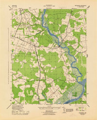
1944 · Rhodesdale
USGS Topo · 1:31,680
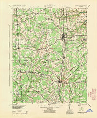
1944 · Harrington
USGS Topo · 1:62,500

1946 · Salisbury
USGS Topo · 1:250,000