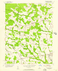
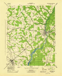
1955 Map of Seaford West
USGS Topo · Published 1957About this map
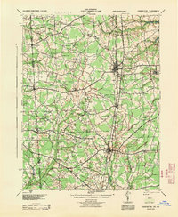
The Maryland Delaware border defines the western edge of this agricultural landscape, where the rural crossroads of Reliance and Oak Grove sit at the intersection of local history and commerce. In the mid-1950s, the area's development centered on small communities like Atlanta and Clarksons Crossroads, while the city of Seaford anchored the southeast corner. The terrain is intricately drained by a network of waterways, including Butler Mill Branch and Meadow Ditch, which supported local industry and agriculture.
Find a feature on this map
51 named features on this map. Tap any name to fly to it.
Don’t see what you’re looking for? This feature index may not catch every label — zoom into the map to look around manually.
Map Details
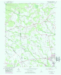
Editions of this 1955 Seaford West Map
2 editions found
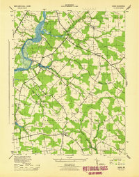
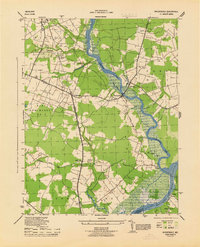
Other maps of this area

1905 · Denton
USGS Topo · 1:62,500

1905 · Hurlock
USGS Topo · 1:62,500
1915 · Seaford
USGS Topo · 1:62,500
1918 · Harrington
USGS Topo · 1:62,500
1944 · Federalsburg
USGS Topo · 1:31,680
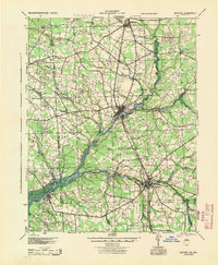
1944 · Seaford
USGS Topo · 1:62,500
1944 · Hobbs
USGS Topo · 1:31,680
1944 · Rhodesdale
USGS Topo · 1:31,680
1944 · Harrington
USGS Topo · 1:62,500

1946 · Salisbury
USGS Topo · 1:250,000