
1973 Map of Seagrove
USGS Topo · Published 1977About this map
The settlement of Seagrove serves as a central hub for this portion of the northern Piedmont, situated where the rolling hills meet the extensive woodlands of the Uwharrie National Forest. In the early 1970s, the landscape was a mosaic of rural communities and small crossroads such as Whynot, Aumans Crossroads, and Ulah. The area's social fabric is visible through its numerous country churches, including Antioch Ch, New Hope Ch, and Huldah Ch, many of which were centers of local life for generations.
Find a feature on this map
47 named features on this map. Tap any name to fly to it.
Don’t see what you’re looking for? This feature index may not catch every label — zoom into the map to look around manually.
Map Details
Editions of this 1973 Seagrove Map
This is the sole edition of this map. No revisions or reprints were ever made.
Other maps of this area

1942 · Troy
USGS Topo · 1:125,000

1953 · Raleigh
USGS Topo · 1:250,000

1954 · Raleigh
USGS Topo · 1:250,000

1957 · Troy
USGS Topo · 1:62,500

1957 · Asheboro
USGS Topo · 1:62,500

1968 · Ramseur
USGS Topo · 1:24,000

1968 · Erect
USGS Topo · 1:24,000

1970 · Asheboro
USGS Topo · 1:24,000
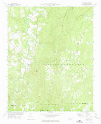
1973 · Eleazer
USGS Topo · 1:24,000
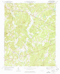
1974 · Farmer
USGS Topo · 1:24,000