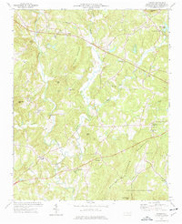
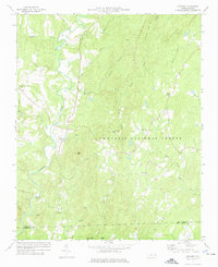
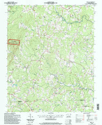
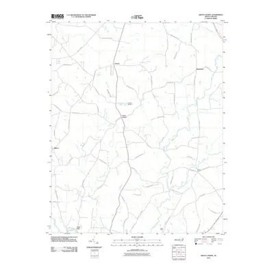
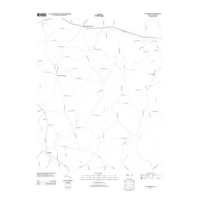
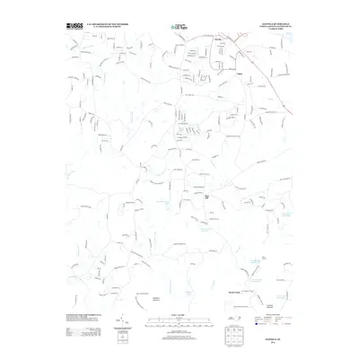
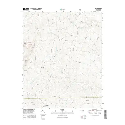
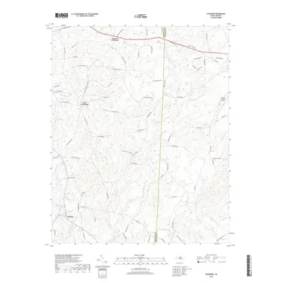
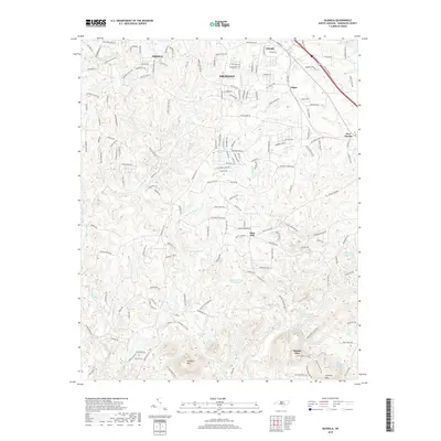
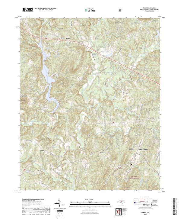
1974 Map of Farmer
USGS Topo · Published 1977About this map
The Uwharrie Mountains dominate this 1970s landscape, with peak names like Caraway Mtn and Ridges Mountain defining the local relief. The rural character of Randolph County is evident in the cluster of community-focused landmarks, such as Tabernacle Sch and several country churches like Pleasant Union Ch and Science Hill Ch. Small crossroads settlements including Motleta, Farmer, and Mechanic are distributed along the winding drainage of the Uwharrie River and its tributaries like Caraway Creek.
Find a feature on this map
52 named features on this map. Tap any name to fly to it.
Don’t see what you’re looking for? This feature index may not catch every label — zoom into the map to look around manually.
Map Details
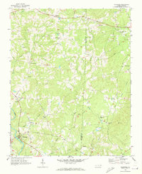
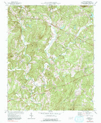
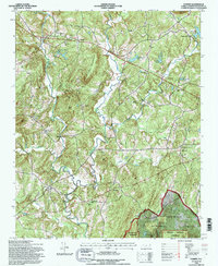
Editions of this 1974 Farmer Map
2 editions found
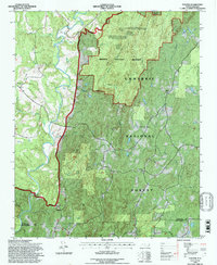
Historical Maps of Asheboro Through Time
39 maps found
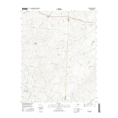
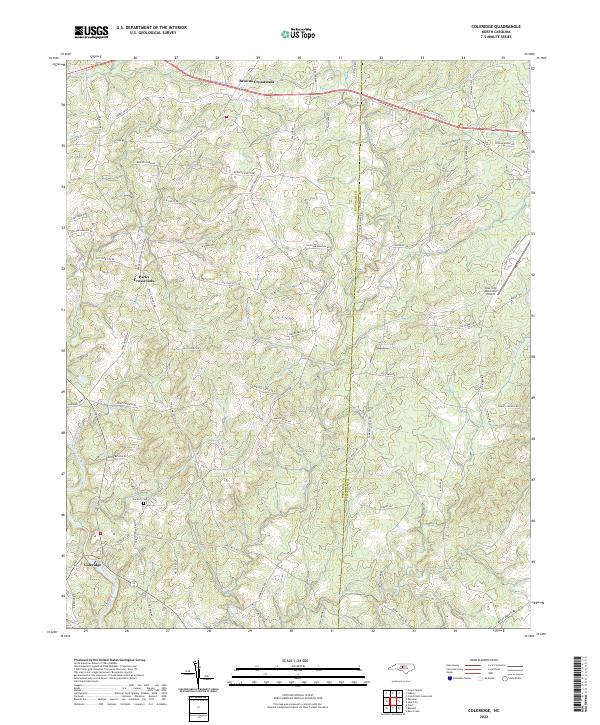
1968 Coleridge
Randolph County, NC
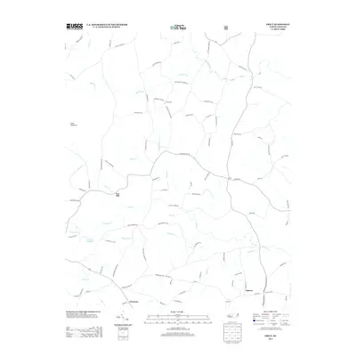
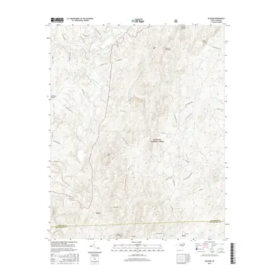
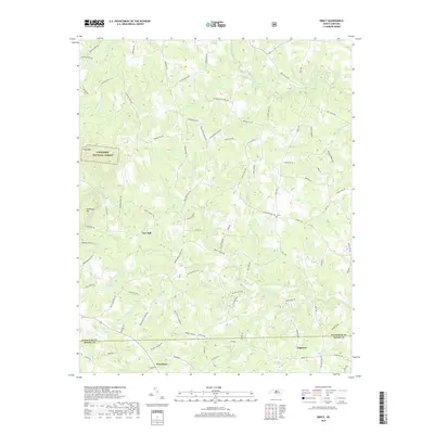
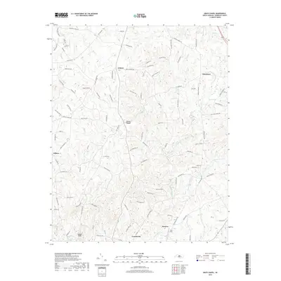
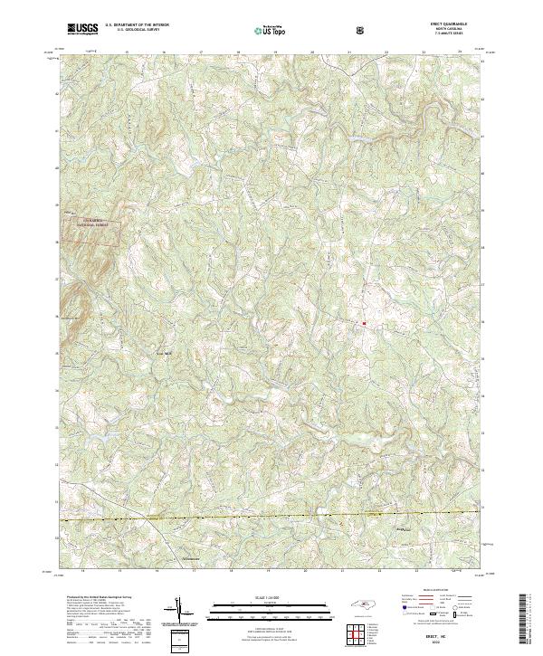
1968 Erect
Randolph County, NC
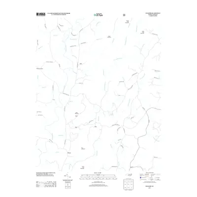
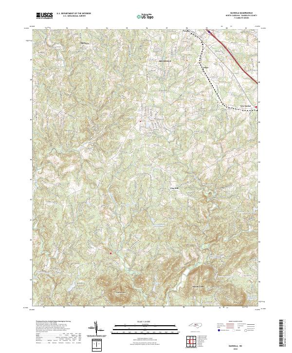
1970 Glenola
Randolph County, NC
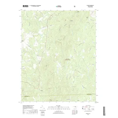
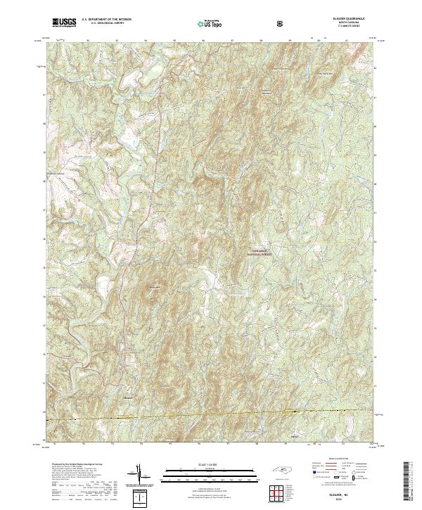
1973 Eleazer
Randolph County, NC
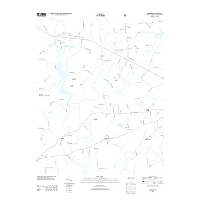
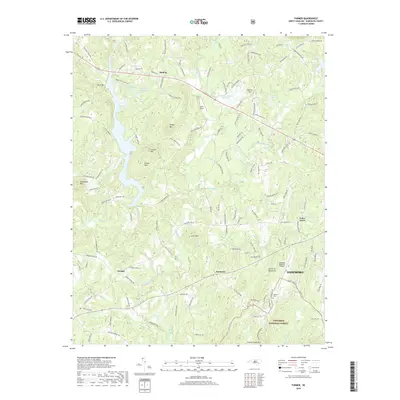
1974 Farmer
Randolph County, NC
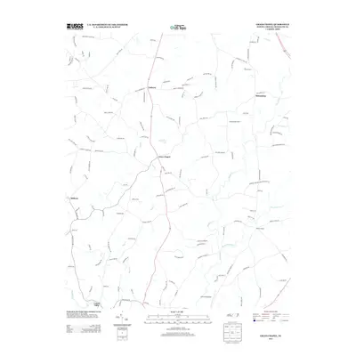
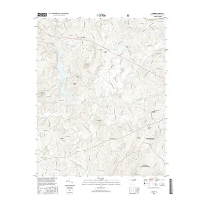
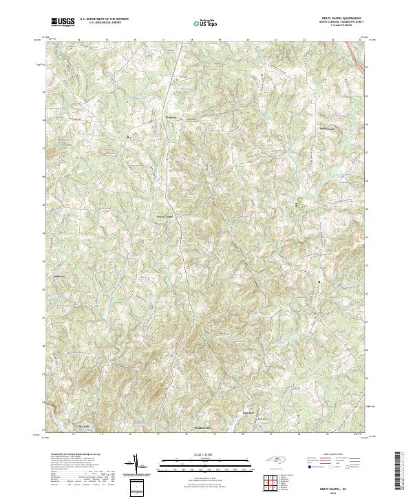
1974 Grays Chapel
Randolph County, NC
1994 Eleazer
Randolph County, NC
1994 Erect
Randolph County, NC
1994 Farmer
Randolph County, NC
2010 Coleridge
Randolph County, NC
2010 Glenola
Randolph County, NC
2010 Grays Chapel
Randolph County, NC
2011 Eleazer
Randolph County, NC
2011 Erect
Randolph County, NC
2011 Farmer
Randolph County, NC
2013 Coleridge
Randolph County, NC
2013 Eleazer
Randolph County, NC
2013 Erect
Randolph County, NC
2013 Farmer
Randolph County, NC
2013 Glenola
Randolph County, NC
2013 Grays Chapel
Randolph County, NC
2016 Coleridge
Randolph County, NC
2016 Eleazer
Randolph County, NC
2016 Erect
Randolph County, NC
2016 Farmer
Randolph County, NC
2016 Glenola
Randolph County, NC
2016 Grays Chapel
Randolph County, NC
2019 Coleridge
Randolph County, NC
2019 Eleazer
Randolph County, NC
2019 Erect
Randolph County, NC
2019 Farmer
Randolph County, NC
2019 Glenola
Randolph County, NC
2019 Grays Chapel
Randolph County, NC
2022 Coleridge
Randolph County, NC
2022 Eleazer
Randolph County, NC
2022 Erect
Randolph County, NC
2022 Farmer
Randolph County, NC
2022 Glenola
Randolph County, NC
2022 Grays Chapel
Randolph County, NC