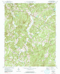
1974 Map of Farmer
USGS Topo · Published 1991About this map
Uwharrie Mountains peaks including Ridges Mountain, Rush Mtn, and Mt Shepherd dominate this landscape in central North Carolina. The Uwharrie River winds along the western edge, joined by major tributaries like Caraway Creek and Back Creek. Small agrarian communities such as Farmer and Moffitt are connected by a network of rural roads, with many local landmarks reflecting the importance of faith and community, such as Science Hill Ch and the Hoovers Grove Cem. The presence of the Asheboro Municipal Airport and the Asheboro Country Club in the northern portion indicates a shift toward modern infrastructure alongside the protected lands of the Uwharrie National Forest. Genealogists may find particular value in locating the Garren Grove Sch and numerous country churches like Pleasant Union Ch that served these rural settlements during the mid-20th century.
Find a feature on this map
47 named features on this map. Tap any name to fly to it.
Don’t see what you’re looking for? This feature index may not catch every label — zoom into the map to look around manually.
Map Details
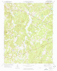
Editions of this 1974 Farmer Map
2 editions found
Other maps of this area

1951 · Fair Grove
USGS Topo · 1:24,000

1953 · Raleigh
USGS Topo · 1:250,000

1953 · Charlotte
USGS Topo · 1:250,000

1954 · Charlotte
USGS Topo · 1:250,000

1954 · Raleigh
USGS Topo · 1:250,000

1957 · Denton
USGS Topo · 1:62,500

1957 · Asheboro
USGS Topo · 1:62,500

1960 · Charlotte
USGS Topo · 1:250,000

1962 · Charlotte
USGS Topo · 1:250,000

1970 · Randleman
USGS Topo · 1:24,000