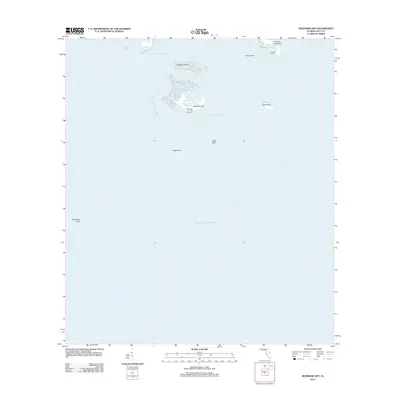
2012 Map of Seahorse Key
USGS Topo · Published 2012About this map
Seahorse Key Lighthouse stands as a primary maritime landmark in this coastal survey of the Cedar Keys area, marking the entrance to the Main Ship Channel. The map illustrates a delicate chain of islands including Seahorse Key, Snake Key, and Deadmans Key as they appeared in 2012. These keys are separated from the Florida mainland by the Deadmans Channel and protected to the south by the extensive Seahorse Reef.
Find a feature on this map
13 named features on this map. Tap any name to fly to it.
Don’t see what you’re looking for? This feature index may not catch every label — zoom into the map to look around manually.
Map Details
Editions of this 2012 Seahorse Key Map
This is the sole edition of this map. No revisions or reprints were ever made.
Other maps of this area

1954 · Gainesville
USGS Topo · 1:250,000

1955 · Seahorse Key
USGS Topo · 1:24,000

1955 · Cedar Key
USGS Topo · 1:24,000

1955 · Sumner
USGS Topo · 1:24,000

1955 · Plant City
USGS Topo · 1:250,000

1958 · Plant City
USGS Topo · 1:250,000

1958 · Gainesville
USGS Topo · 1:250,000

1959 · Plant City
USGS Topo · 1:250,000

1959 · Gainesville
USGS Topo · 1:250,000

1964 · Plant City
USGS Topo · 1:250,000