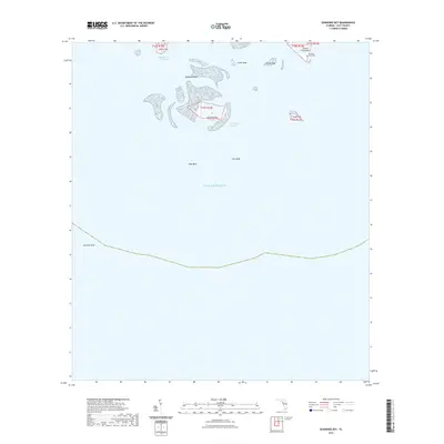
2021 Map of Seahorse Key
USGS Topo · Published 2021About this map
Seahorse Key and the surrounding island chain of the Cedar Keys are documented in this 2021 survey of the Florida coastline in Levy County. The map details the intricate maritime geography of the area, illustrating the relationship between the islands and the underlying bathymetry of the Gulf of Mexico. Historical sites are noted on the landmasses, most significantly the Atsenia Otie Cem on Atsena Otie Key. The terrain is characterized by a series of keys and shoals, including North Key, Deadmans Key, and Snake Key, separated by natural waterways like Deadmans Channel. Further offshore, the extent of Seahorse Reef is traced alongside submerged features like West Bank and East Bank. This map serves as a detailed guide to the coastal features and landmarks that define this section of the Florida Gulf Coast, useful for understanding the area's geography and localized history.
Find a feature on this map
16 named features on this map. Tap any name to fly to it.
Don’t see what you’re looking for? This feature index may not catch every label — zoom into the map to look around manually.
Map Details
Editions of this 2021 Seahorse Key Map
This is the sole edition of this map. No revisions or reprints were ever made.
Other maps of this area

1954 · Gainesville
USGS Topo · 1:250,000

1955 · Seahorse Key
USGS Topo · 1:24,000

1955 · Cedar Key
USGS Topo · 1:24,000

1955 · Sumner
USGS Topo · 1:24,000

1955 · Plant City
USGS Topo · 1:250,000

1958 · Plant City
USGS Topo · 1:250,000

1958 · Gainesville
USGS Topo · 1:250,000

1959 · Plant City
USGS Topo · 1:250,000

1959 · Gainesville
USGS Topo · 1:250,000

1964 · Plant City
USGS Topo · 1:250,000