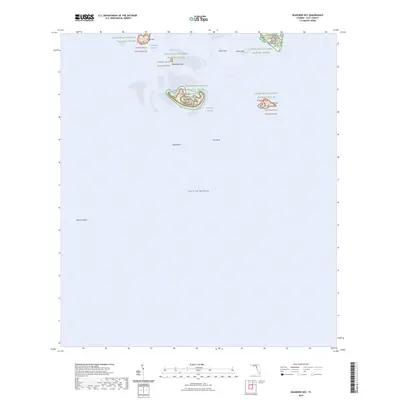
2024 Map of Seahorse Key
USGS Topo · Published 2024About this map
Seahorse Key and the surrounding archipelago of the Cedar Keys National Wildlife Refuge define this coastal landscape where the Gulf of Mexico meets the complex shoals and islands of Levy County. The map details a sensitive ecological and historical environment protected as the Cedar Keys Wilderness, including North Key, Snake Key, and Deadmans Key. Navigational features like the Main Ship Channel and Deadmans Channel slice through the shallow waters between West Bank and East Bank, providing vital passage to the mainland. A significant touchpoint for local history is found on Atsena Otie Key, which houses the Atsena Otie Cem, a reminder of the island's past settlement before being reclaimed by the refuge. The survey also captures the extended underwater topography of Seahorse Reef, stretching south into the open Gulf.
Find a feature on this map
18 named features on this map. Tap any name to fly to it.
Don’t see what you’re looking for? This feature index may not catch every label — zoom into the map to look around manually.
Map Details
Editions of this 2024 Seahorse Key Map
This is the sole edition of this map. No revisions or reprints were ever made.
Other maps of this area

1954 · Gainesville
USGS Topo · 1:250,000

1955 · Seahorse Key
USGS Topo · 1:24,000

1955 · Cedar Key
USGS Topo · 1:24,000

1955 · Sumner
USGS Topo · 1:24,000

1955 · Plant City
USGS Topo · 1:250,000

1958 · Plant City
USGS Topo · 1:250,000

1958 · Gainesville
USGS Topo · 1:250,000

1959 · Plant City
USGS Topo · 1:250,000

1959 · Gainesville
USGS Topo · 1:250,000

1964 · Plant City
USGS Topo · 1:250,000