
1955 Map of Seale
USGS Topo · Published 1959About this map
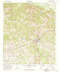
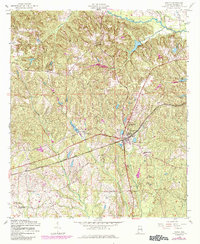
Seale serves as a primary hub for this portion of Russell County, where the Central of Georgia railroad cuts through a landscape defined by several prominent stream systems. The map shows a clear concentration of civic and religious life, from Chavala High Sch and Seale Sch to a network of rural churches including Mount Hebron Ch and St Matthews Ch. Moving away from the central rail corridor, the terrain is shaped by the winding paths of Uchee Creek and Watermelon Creek, which frame small communities like Sandfort and Villula. The inclusion of various landmarks like the Lookout Tower near Bush Cem and names like Ross Chapel suggests a well-established pattern of mid-century rural settlement, where transportation and local parishes dictated the local geography.
Find a feature on this map
28 named features on this map. Tap any name to fly to it.
Don’t see what you’re looking for? This feature index may not catch every label — zoom into the map to look around manually.
Map Details
Editions of this 1955 Seale Map
3 editions found
Other maps of this area

1914 · Seale
USGS Topo · 1:62,500

1949 · Fort Mitchell
USGS Topo · 1:24,000

1950 · Crawford
USGS Topo · 1:24,000

1950 · Seale
USGS Topo · 1:24,000

1950 · Phenix City
USGS Topo · 1:24,000

1950 · Seale
USGS Topo · 1:62,500

1955 · Phenix City
USGS Topo · 1:24,000

1955 · Crawford
USGS Topo · 1:24,000
1955 · Fort Mitchell
USGS Topo · 1:24,000

1955 · Seale
USGS Topo · 1:62,500