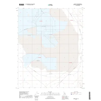
2018 Map of Searles Lake
USGS Topo · Published 2018About this map
Searles Lake and its industrial infrastructure dominate this portion of the Mojave Desert in San Bernardino County. The basin's complex grid of service routes, including Salt Well Access Rd and Pumping Station Access Rd, highlights the area's significance for mineral extraction. The map reveals the intricate network of canals and evaporation ponds utilized to harvest materials from the dry lake bed.
Find a feature on this map
12 named features on this map. Tap any name to fly to it.
Don’t see what you’re looking for? This feature index may not catch every label — zoom into the map to look around manually.
Map Details
Editions of this 2018 Searles Lake Map
This is the sole edition of this map. No revisions or reprints were ever made.
Other maps of this area

1915 · Searles Lake
USGS Topo · 1:250,000

1947 · Trona
USGS Topo · 1:250,000

1948 · Trona
USGS Topo · 1:250,000

1949 · Trona
USGS Topo · 1:62,500

1949 · Searles Lake
USGS Topo · 1:62,500

1950 · Searles Lake
USGS Topo · 1:62,500

1950 · Trona
USGS Topo · 1:62,500

1950 · Manly Peak
USGS Topo · 1:62,500

1950 · Wingate Pass
USGS Topo · 1:62,500

1951 · Wingate Pass
USGS Topo · 1:62,500