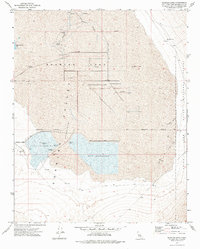
1973 Map of Searles Lake
USGS Topo · Published 1976About this map
The vast industrial basin of Searles Lake dominates this 1970s landscape, defined by a specialized chemical and mineral extraction infrastructure. The map details an extensive network of Salt Wells, a complex Aqueduct system, and large processing areas including the Salt Evaporator and smaller Salt Evaporators. These features illustrate the intensive salt and soda harvesting operations within the Searles Valley (Depression), where water management and industrial waste, such as the Industrial Waste Pond, are central to the terrain's utility.
Find a feature on this map
18 named features on this map. Tap any name to fly to it.
Don’t see what you’re looking for? This feature index may not catch every label — zoom into the map to look around manually.
Map Details
Editions of this 1973 Searles Lake Map
This is the sole edition of this map. No revisions or reprints were ever made.
Other maps of this area

1915 · Searles Lake
USGS Topo · 1:250,000

1947 · Trona
USGS Topo · 1:250,000

1948 · Trona
USGS Topo · 1:250,000

1949 · Trona
USGS Topo · 1:62,500

1949 · Searles Lake
USGS Topo · 1:62,500

1950 · Searles Lake
USGS Topo · 1:62,500

1950 · Trona
USGS Topo · 1:62,500

1950 · Manly Peak
USGS Topo · 1:62,500

1950 · Wingate Pass
USGS Topo · 1:62,500

1951 · Wingate Pass
USGS Topo · 1:62,500