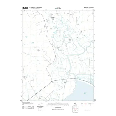
2012 Map of Sears Point
USGS Topo · Published 2012About this map
Sonoma Valley viticulture and marshland geography define this corridor north of the Pacific Ocean. The landscape transitions from the upland slopes of Wildcat Mountain down to a complex network of tidal waterways, including Steamboat Slough, China Slough, and the winding Sonoma Cr. This region is a major hub for the wine industry, featuring prominent estates such as the Gloria Ferrer Winery, Cline Cellars Winery, and Roche Winery.
Find a feature on this map
68 named features on this map. Tap any name to fly to it.
Don’t see what you’re looking for? This feature index may not catch every label — zoom into the map to look around manually.
Map Details
Editions of this 2012 Sears Point Map
This is the sole edition of this map. No revisions or reprints were ever made.
Other maps of this area

1902 · Napa
USGS Topo · 1:125,000

1914 · Petaluma
USGS Topo · 1:62,500

1916 · Mare Island
USGS Topo · 1:62,500

1916 · Santa Rosa
USGS Topo · 1:62,500

1942 · Mare Island
USGS Topo · 1:62,500

1942 · Sonoma
USGS Topo · 1:62,500

1942 · Petaluma
USGS Topo · 1:62,500

1944 · Santa Rosa
USGS Topo · 1:62,500

1947 · Santa Rosa
USGS Topo · 1:250,000

1949 · Santa Rosa
USGS Topo · 1:250,000