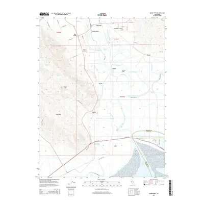
2015 Map of Sears Point
USGS Topo · Published 2015About this map
San Pablo Bay tidal marshes and the southern reaches of the Sonoma Valley define this landscape where water and land continuously negotiate boundaries. This 2015 survey illustrates a complex network of sloughs, including Steamboat Slough, China Slough, and Railroad Slough, which weave between historical settlements like Wingo and Schellville. The transition from the elevations of Wildcat Mtn down to the sea-level flats of Tubbs Island and Island Number One shows the geographical constraints that shaped local transport and agriculture. Small communities such as Fairville and Embarcadero are situated along the margins of these wetlands, connected by corridors like Sears Point Rd and the proximity of the Sonoma Valley Airport. The interplay of natural drainages like Sonoma Creek and Tolay Creek with reclaimed lands and islands provides a clear view of the hydrological engineering common to the northern reaches of the bay.
Find a feature on this map
66 named features on this map. Tap any name to fly to it.
Don’t see what you’re looking for? This feature index may not catch every label — zoom into the map to look around manually.
Map Details
Editions of this 2015 Sears Point Map
This is the sole edition of this map. No revisions or reprints were ever made.
Other maps of this area

1902 · Napa
USGS Topo · 1:125,000

1914 · Petaluma
USGS Topo · 1:62,500

1916 · Mare Island
USGS Topo · 1:62,500

1916 · Santa Rosa
USGS Topo · 1:62,500

1942 · Mare Island
USGS Topo · 1:62,500

1942 · Sonoma
USGS Topo · 1:62,500

1942 · Petaluma
USGS Topo · 1:62,500

1944 · Santa Rosa
USGS Topo · 1:62,500

1947 · Santa Rosa
USGS Topo · 1:250,000

1949 · Santa Rosa
USGS Topo · 1:250,000