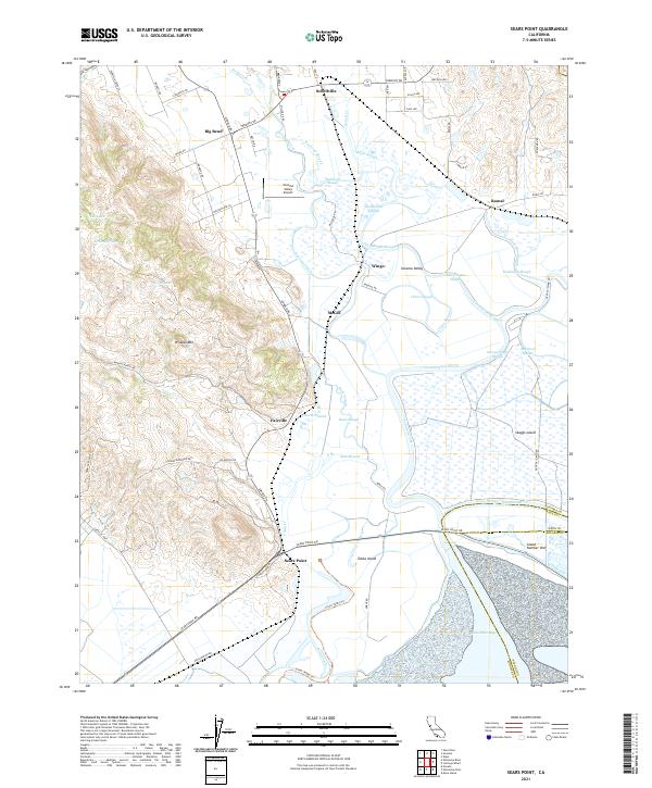
2021 Map of Sears Point
USGS Topo · Published 2021About this map
San Pablo Bay tidal marshes and the intricate network of the Sonoma Valley sloughs dominate this 2021 landscape. The map details the complex transition from the uplands of Wildcat Mtn. and Cougar Mountain down to the low-lying agricultural and wetland areas of Skaggs Island and Tubbs Island. Small historic hubs like Schellville, Wingo, and Fairville are situated along the margins of these wetlands, reflecting a settlement pattern shaped by the drainage of Sonoma Creek and Napa Slough.
Find a feature on this map
76 named features on this map. Tap any name to fly to it.
Don’t see what you’re looking for? This feature index may not catch every label — zoom into the map to look around manually.
Map Details
Editions of this 2021 Sears Point Map
This is the sole edition of this map. No revisions or reprints were ever made.
Other maps of this area

1902 · Napa
USGS Topo · 1:125,000

1914 · Petaluma
USGS Topo · 1:62,500

1916 · Mare Island
USGS Topo · 1:62,500

1916 · Santa Rosa
USGS Topo · 1:62,500

1942 · Mare Island
USGS Topo · 1:62,500

1942 · Sonoma
USGS Topo · 1:62,500

1942 · Petaluma
USGS Topo · 1:62,500

1944 · Santa Rosa
USGS Topo · 1:62,500

1947 · Santa Rosa
USGS Topo · 1:250,000

1949 · Santa Rosa
USGS Topo · 1:250,000