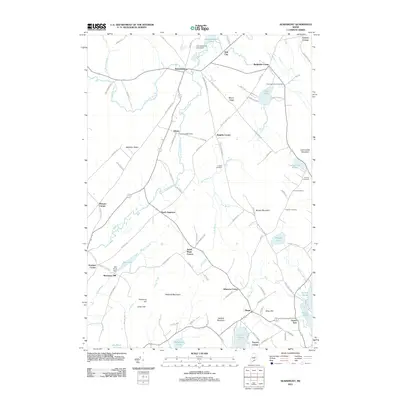
2011 Map of Searsmont
USGS Topo · Published 2011About this map
The Saint George River carves a path through this landscape, fueling the early mill economy visible at Shermans Mill and Ghent. The presence of the Robbins Mill Dam and the Mill Pond Dam illustrates how local waterpower once drove the development of these small industrial hubs. Settlement patterns are defined by a network of crossroad hamlets like Slab City, Bickfords Corner, and Knights Corner, while larger centers like Searsmont and Hope anchor the northern and southern reaches of the map.
Find a feature on this map
109 named features on this map. Tap any name to fly to it.
Don’t see what you’re looking for? This feature index may not catch every label — zoom into the map to look around manually.
Map Details
Editions of this 2011 Searsmont Map
This is the sole edition of this map. No revisions or reprints were ever made.
Other maps of this area

1904 · Rockland
USGS Topo · 1:62,500

1906 · Rockland
USGS Topo · 1:62,500

1913 · Waldoboro
USGS Topo · 1:48,000

1915 · Waldoboro
USGS Topo · 1:62,500

1915 · Belfast
USGS Topo · 1:62,500

1916 · Liberty
USGS Topo · 1:62,500

1917 · Belfast
USGS Topo · 1:62,500

1941 · Belfast
USGS Topo · 1:62,500

1941 · Rockland
USGS Topo · 1:62,500

1941 · Waldoboro
USGS Topo · 1:62,500