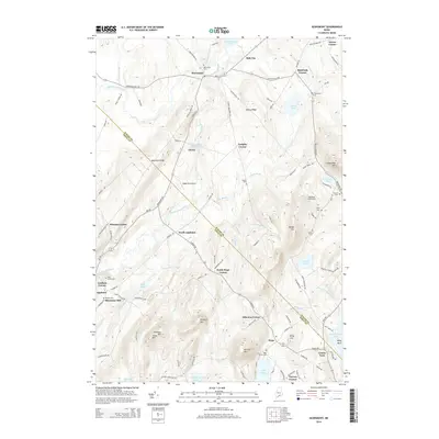
2014 Map of Searsmont
USGS Topo · Published 2014About this map
The Saint George River carves a central path through this mid-coast Maine interior, feeding the Saint George River Reservoir and Quantabacook Lake near the community of Searsmont. The landscape is defined by its numerous small crossroads settlements and family-named landmarks, reflecting a long-standing agricultural and residential pattern. Numerous burial grounds, such as the Oak Grove Cem, Lassell Cem, and Quaker Cem, are scattered across the terrain, offering significant touchpoints for genealogical research.
Find a feature on this map
116 named features on this map. Tap any name to fly to it.
Don’t see what you’re looking for? This feature index may not catch every label — zoom into the map to look around manually.
Map Details
Editions of this 2014 Searsmont Map
This is the sole edition of this map. No revisions or reprints were ever made.
Other maps of this area

1904 · Rockland
USGS Topo · 1:62,500

1906 · Rockland
USGS Topo · 1:62,500

1913 · Waldoboro
USGS Topo · 1:48,000

1915 · Waldoboro
USGS Topo · 1:62,500

1915 · Belfast
USGS Topo · 1:62,500

1916 · Liberty
USGS Topo · 1:62,500

1917 · Belfast
USGS Topo · 1:62,500

1941 · Belfast
USGS Topo · 1:62,500

1941 · Rockland
USGS Topo · 1:62,500

1941 · Waldoboro
USGS Topo · 1:62,500