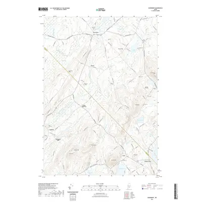
2021 Map of Searsmont
USGS Topo · Published 2021About this map
Searsmont and the surrounding mid-coast highlands are defined by a complex network of ridges and watercourses along the Saint George River. This modern survey illustrates the persistent rural settlement patterns of Waldo and Knox Counties, where small centers like North Appleton, Appleton, and Hope are connected by winding routes such as Appleton Ridge Rd and Searsmont Rd. The landscape is notably dotted with family and community burial grounds, including the Oak Grove Cem, Heal Cem, and Quaker Cem, providing significant data points for genealogical research.
Find a feature on this map
106 named features on this map. Tap any name to fly to it.
Don’t see what you’re looking for? This feature index may not catch every label — zoom into the map to look around manually.
Map Details
Editions of this 2021 Searsmont Map
This is the sole edition of this map. No revisions or reprints were ever made.
Other maps of this area

1904 · Rockland
USGS Topo · 1:62,500

1906 · Rockland
USGS Topo · 1:62,500

1913 · Waldoboro
USGS Topo · 1:48,000

1915 · Waldoboro
USGS Topo · 1:62,500

1915 · Belfast
USGS Topo · 1:62,500

1916 · Liberty
USGS Topo · 1:62,500

1917 · Belfast
USGS Topo · 1:62,500

1941 · Belfast
USGS Topo · 1:62,500

1941 · Rockland
USGS Topo · 1:62,500

1941 · Waldoboro
USGS Topo · 1:62,500