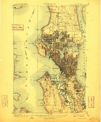
1909 Map of Seattle Special
USGS Topo · Published 1911About this map
The city of Seattle is presented here in a period of monumental expansion, caught between the waters of Puget Sound and Lake Washington. A focal point of the era is the site of the Alaska-Yukon-Pacific Exposition on the grounds of the State University, a landmark event that signaled the region's rising status. The intricate grid of the central city radiates outward toward established neighborhoods and industrial areas like Ballard and Georgetown.
Find a feature on this map
75 named features on this map. Tap any name to fly to it.
Don’t see what you’re looking for? This feature index may not catch every label — zoom into the map to look around manually.
Map Details
Editions of this 1909 Seattle Special Map
4 editions found
Other maps of this area

1894 · Seattle
USGS Topo · 1:62,500

1895 · Snohomish
USGS Topo · 1:125,000

1897 · Tacoma
USGS Topo · 1:125,000

1897 · Seattle
USGS Topo · 1:125,000

1900 · Tacoma
USGS Topo · 1:125,000

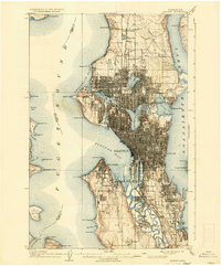
1908 · Seattle
USGS Topo · 1:62,500

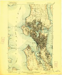
1909 · Seattle Special
USGS Topo · 1:62,500

1937 · Port Orchard
USGS Topo · 1:62,500

1937 · Port Gamble
USGS Topo · 1:62,500

1940 · Port Gamble
USGS Topo · 1:62,500