
1909 Map of Seattle Special
USGS Topo · Published 1909About this map
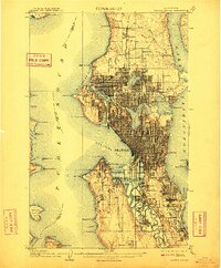
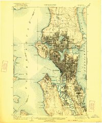
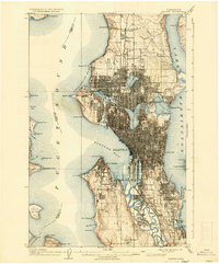
The Seattle waterfront and its surrounding industrial and residential districts appear here just as the city emerged as a major Pacific metropolis. This 1909 revision captures the site of the Alaska-Yukon-Pacific Exposition on the grounds of the State University, a moment of significant civic pride and development. The intricate rail network is dominated by the Northern Pacific RR, the Great Northern RR, and the Seattle-Everett Interurban, illustrating the era's reliance on inter-urban and transcontinental rail for growth.
Find a feature on this map
78 named features on this map. Tap any name to fly to it.
Don’t see what you’re looking for? This feature index may not catch every label — zoom into the map to look around manually.
Map Details
Editions of this 1909 Seattle Special Map
4 editions found
Other maps of this area

1894 · Seattle
USGS Topo · 1:62,500

1895 · Snohomish
USGS Topo · 1:125,000

1897 · Tacoma
USGS Topo · 1:125,000

1897 · Seattle
USGS Topo · 1:125,000

1900 · Tacoma
USGS Topo · 1:125,000

1908 · Seattle
USGS Topo · 1:62,500

1937 · Port Orchard
USGS Topo · 1:62,500

1937 · Port Gamble
USGS Topo · 1:62,500

1940 · Port Gamble
USGS Topo · 1:62,500

1942 · Edmonds
USGS Topo · 1:62,500