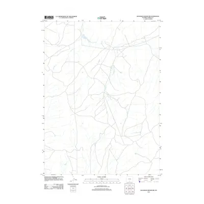
2012 Map of Seaverson Reservoir
USGS Topo · Published 2012About this map
Seaverson Reservoir serves as a central hydrological point in this high-plains landscape of Carbon County, Wyoming. The terrain is defined by a sparse but essential network of seasonal drainage and water sources, including Fillmore Cr and the winding course of Coal Bank Cr. These waterways illustrate the critical importance of water management and natural springs in the arid Western interior, where even small features like Chicken Spring represent vital landmarks for land use and navigation. The intricate road network shown on this U.S. Geological Survey map reveals the patterns of ranching or mineral access common to this region of Wyoming, providing a detailed look at the interface between natural drainages like Bad Water Cr and human-made infrastructure in the early twenty-first century.
Find a feature on this map
5 named features on this map. Tap any name to fly to it.
Don’t see what you’re looking for? This feature index may not catch every label — zoom into the map to look around manually.
Map Details
Editions of this 2012 Seaverson Reservoir Map
This is the sole edition of this map. No revisions or reprints were ever made.
Other maps of this area

1954 · Rawlins
USGS Topo · 1:250,000

1957 · Doty Mountain
USGS Topo · 1:62,500

1958 · Rawlins
USGS Topo · 1:250,000

1962 · Rawlins
USGS Topo · 1:250,000

1966 · Creston Junction
USGS Topo · 1:24,000

1966 · Seaverson Reservoir
USGS Topo · 1:24,000

1966 · Riner
USGS Topo · 1:24,000

1966 · Creston
USGS Topo · 1:24,000

1966 · High Point
USGS Topo · 1:24,000

1966 · Fillmore Ranch
USGS Topo · 1:24,000