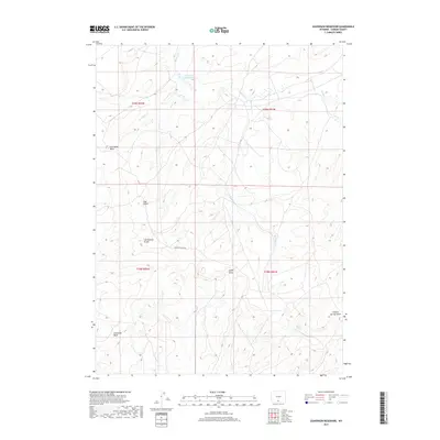
2017 Map of Seaverson Reservoir
USGS Topo · Published 2017About this map
The Continental Divide traverses this high-altitude landscape in Carbon County, creating a natural hydrologic boundary across the drainage basins of the American West. At the heart of this arid terrain, the Seaverson Reservoir serves as a critical water catchment, fed by the ephemeral flows of Fillmore Cr. The map reveals a complex network of seasonal drainages and dry washes that have carved out the local topography, including Coal Bank Wash and the interestingly named Soap Hole Wash.
Find a feature on this map
16 named features on this map. Tap any name to fly to it.
Don’t see what you’re looking for? This feature index may not catch every label — zoom into the map to look around manually.
Map Details
Editions of this 2017 Seaverson Reservoir Map
This is the sole edition of this map. No revisions or reprints were ever made.
Other maps of this area

1954 · Rawlins
USGS Topo · 1:250,000

1957 · Doty Mountain
USGS Topo · 1:62,500

1958 · Rawlins
USGS Topo · 1:250,000

1962 · Rawlins
USGS Topo · 1:250,000

1966 · Creston Junction
USGS Topo · 1:24,000

1966 · Seaverson Reservoir
USGS Topo · 1:24,000

1966 · Riner
USGS Topo · 1:24,000

1966 · Creston
USGS Topo · 1:24,000

1966 · High Point
USGS Topo · 1:24,000

1966 · Fillmore Ranch
USGS Topo · 1:24,000