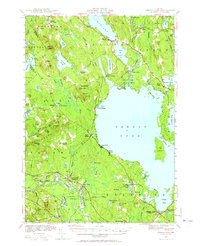
1942 Map of Sebago Lake
USGS Topo · Published 1965About this map
Sebago Lake dominates this mid-century survey, revealing a landscape defined by its complex shoreline and a network of interior ponds and mountain ridges. The map records the settled corridors of the 1940s, including Naples and South Casco to the north, and the southern rail-and-river hub of Steep Falls where the Saco River serves as a county boundary. Educational landmarks like the Potter Academy and the Hawthorne Sch are noted, alongside industrial traces like Rich Mill Pond.
Find a feature on this map
112 named features on this map. Tap any name to fly to it.
Don’t see what you’re looking for? This feature index may not catch every label — zoom into the map to look around manually.
Map Details
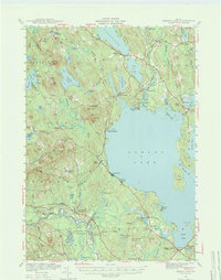
Editions of this 1942 Sebago Lake Map
3 editions found

Other maps of this area

1891 · Portland
USGS Topo · 1:62,500

1891 · Buxton
USGS Topo · 1:62,500

1891 · Newfield
USGS Topo · 1:62,500

1892 · Buxton
USGS Topo · 1:62,500

1893 · Portland
USGS Topo · 1:62,500

1893 · Buxton
USGS Topo · 1:62,500

1893 · Newfield
USGS Topo · 1:62,500

1894 · Gray
USGS Topo · 1:62,500

1896 · Norway
USGS Topo · 1:62,500

1896 · Sebago
USGS Topo · 1:62,500