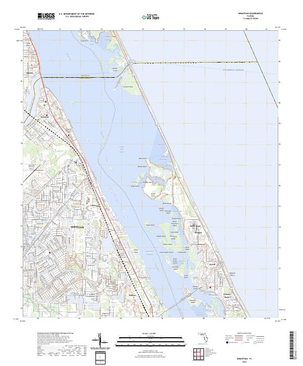
2024 Map of Sebastian
USGS Topo · Published 2024About this map
The Indian River Lagoon and the Intracoastal Waterway form the central spine of this coastal landscape, separating the mainland settlements from the barrier islands of the Atlantic Ocean. On the western shore, the Florida East Coast RR parallels the coast, serving a string of established communities including Micco, Roseland, Sebastian, and Wabasso. These towns show a dense grid of residential streets like Orange Ave and Barber St, centered around local landmarks such as the Sebastian Municipal Cem and the Sebastian Municipal Airport.
Find a feature on this map
95 named features on this map. Tap any name to fly to it.
Don’t see what you’re looking for? This feature index may not catch every label — zoom into the map to look around manually.
Map Details
Editions of this 2024 Sebastian Map
This is the sole edition of this map. No revisions or reprints were ever made.
Other maps of this area
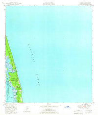
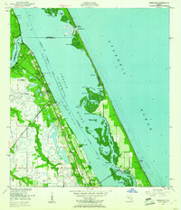
1948 · Riomar
USGS Topo · 1:24,000

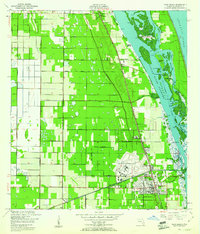
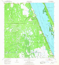
1949 · Fellsmere
USGS Topo · 1:24,000
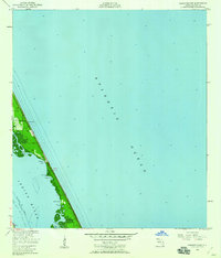
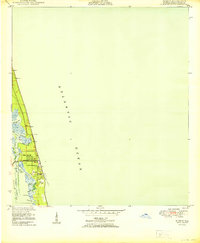
1949 · Sebastian NW
USGS Topo · 1:24,000
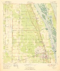
1949 · Vero Beach
USGS Topo · 1:24,000
1949 · Sebastian
USGS Topo · 1:24,000
1949 · Grant
USGS Topo · 1:24,000
1950 · Riomar
USGS Topo · 1:24,000
1950 · Vero Beach
USGS Topo · 1:24,000
1951 · Sebastian NW
USGS Topo · 1:24,000
1951 · Fellsmere
USGS Topo · 1:24,000