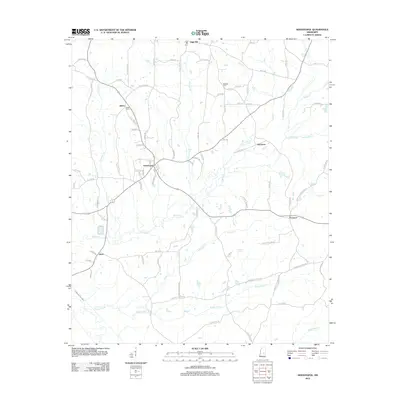
2012 Map of Sebastopol
USGS Topo · Published 2012About this map
Sebastopol serves as the primary hub on this modern topographic study of eastern Mississippi, where the headwaters of numerous creeks begin their descent toward larger drainage basins. The landscape is defined by the winding paths of Sipsey Cr, Vanzant Cr, and the broader Bogue Fallah to the south. Small settlements like Kitchener, Salem, and Prospect are linked by a dense network of county roads, reflecting a long-established pattern of rural land use and timber-oriented terrain. For those tracing family history, several dedicated burial grounds are mapped with precision, including Salem Cem, Milldale Cem, and High Hill Cem. The presence of landmarks like Sulphur Spring and Bollybusha Cr indicates a region where natural water sources have long dictated the placement of homesteads and small communities.
Find a feature on this map
81 named features on this map. Tap any name to fly to it.
Don’t see what you’re looking for? This feature index may not catch every label — zoom into the map to look around manually.
Map Details
Editions of this 2012 Sebastopol Map
This is the sole edition of this map. No revisions or reprints were ever made.
Other maps of this area

1921 · Forest
USGS Topo · 1:48,000

1922 · Forest
USGS Topo · 1:62,500

1950 · Forest
USGS Topo · 1:62,500

1952 · Forest
USGS Topo · 1:62,500

1953 · Meridian
USGS Topo · 1:250,000

1957 · Meridian
USGS Topo · 1:250,000

1965 · Meridian
USGS Topo · 1:250,000

1966 · Decatur NW
USGS Topo · 1:24,000

1972 · McAfee
USGS Topo · 1:24,000

1972 · Madden
USGS Topo · 1:24,000