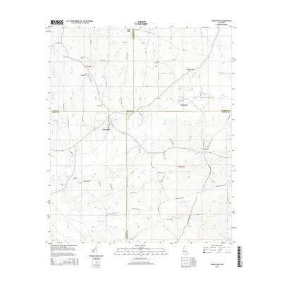
2015 Map of Sebastopol
USGS Topo · Published 2015About this map
Sebastopol sits at the junction of four counties — Leake, Neshoba, Newton, and Scott — serving as a central hub for this rural stretch of East Central Mississippi. The landscape is defined by its complex drainage network, where Sipsey Creek and Pinter Cr weave through the northern sections, while the southern terrain is dominated by the Bogue Faliah and Tuscolameta Creek. Local landmarks like High Hill and the nearby High Hill Cem provide historical anchors for genealogists, alongside other burial sites such as Salem Cem and Milldale Cem. The settlement pattern follows a network of country roads, including Old Salem Rd and Kitchner Rd, which connect smaller communities like Kitchener, Prospect, and Hays. The presence of Sulphur Spring near the center of the sheet highlights the natural features that historically drew settlers to these creek-fed valleys.
Find a feature on this map
84 named features on this map. Tap any name to fly to it.
Don’t see what you’re looking for? This feature index may not catch every label — zoom into the map to look around manually.
Map Details
Editions of this 2015 Sebastopol Map
This is the sole edition of this map. No revisions or reprints were ever made.
Other maps of this area

1921 · Forest
USGS Topo · 1:48,000

1922 · Forest
USGS Topo · 1:62,500

1950 · Forest
USGS Topo · 1:62,500

1952 · Forest
USGS Topo · 1:62,500

1953 · Meridian
USGS Topo · 1:250,000

1957 · Meridian
USGS Topo · 1:250,000

1965 · Meridian
USGS Topo · 1:250,000

1966 · Decatur NW
USGS Topo · 1:24,000

1972 · McAfee
USGS Topo · 1:24,000

1972 · Madden
USGS Topo · 1:24,000