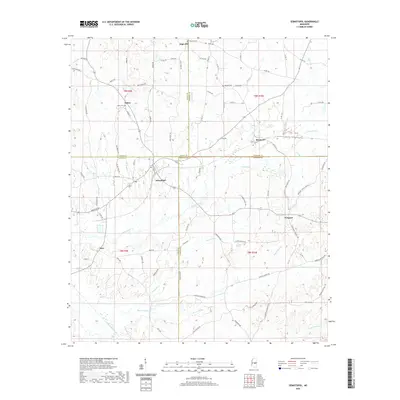
2020 Map of Sebastopol
USGS Topo · Published 2020About this map
Sebastopol sits at the nexus of Leake, Scott, and Newton counties, anchoring a landscape defined by the winding course of Sipsey Creek and its many tributaries. This corner of east-central Mississippi is marked by small crossroads settlements and family-linked burial grounds, such as Salem Cem and High Hill Cem, which offer significant value for genealogists tracing local lineage. The topography transitions from the northern heights near High Hill down through the drainage basins of Bogue Faliah and Bollybusha Cr. Historical transport patterns are visible through the dense network of county roads like Sistrunk Rd and Old Salem Rd, which connect the rural outposts of Salem, Kitchener, and Prospect. A notable geographic detail is the Sulphur Spring located near t8n r10e, suggesting the natural mineral features that often dictated early settlement locations and community gathering points in this region.
Find a feature on this map
87 named features on this map. Tap any name to fly to it.
Don’t see what you’re looking for? This feature index may not catch every label — zoom into the map to look around manually.
Map Details
Editions of this 2020 Sebastopol Map
This is the sole edition of this map. No revisions or reprints were ever made.
Other maps of this area

1921 · Forest
USGS Topo · 1:48,000

1922 · Forest
USGS Topo · 1:62,500

1950 · Forest
USGS Topo · 1:62,500

1952 · Forest
USGS Topo · 1:62,500

1953 · Meridian
USGS Topo · 1:250,000

1957 · Meridian
USGS Topo · 1:250,000

1965 · Meridian
USGS Topo · 1:250,000

1966 · Decatur NW
USGS Topo · 1:24,000

1972 · McAfee
USGS Topo · 1:24,000

1972 · Madden
USGS Topo · 1:24,000