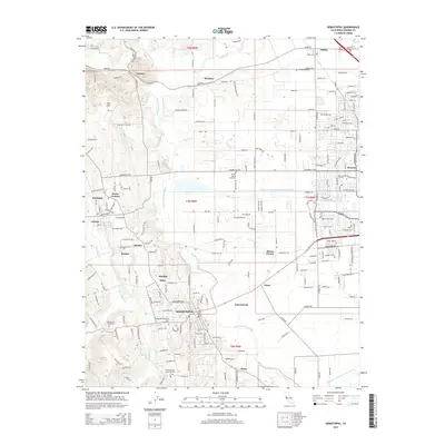
2015 Map of Sebastopol
USGS Topo · Published 2015About this map
Sebastopol serves as the central hub of this 2015 survey, situated where the lowlands meet the rising topography of Vine Hill. The landscape is defined by the complex hydrology of the Laguna de Santa Rosa and Atascadero Cr, which thread through an area marked by a dense network of small communities and family-named locales. Settlements like Hurlbut Mills, Riccas Corner, and Sousa Corners reflect the region's agricultural and rural residential character. Genealogists will find significant value in the numerous burial sites identified across the quadrangle, including the Fulton Cemetery, Steele Family Cemetery, and Pleasant Hills Memorial Park. The map also details the engineered water management of the Santa Rosa Flood Control Channel, contrasting with the more natural winding paths of Mark West Creek and Santa Rosa Creek to the east.
Find a feature on this map
207 named features on this map. Tap any name to fly to it.
Don’t see what you’re looking for? This feature index may not catch every label — zoom into the map to look around manually.
Map Details
Editions of this 2015 Sebastopol Map
This is the sole edition of this map. No revisions or reprints were ever made.
Other maps of this area

1916 · Santa Rosa
USGS Topo · 1:62,500

1920 · Healdsburg
USGS Topo · 1:62,500

1927 · Calistoga
USGS Topo · 1:62,500

1933 · Healdsburg
USGS Topo · 1:48,000

1935 · Sebastopol
USGS Topo · 1:48,000

1940 · Healdsburg
USGS Topo · 1:62,500

1942 · Sebastopol
USGS Topo · 1:62,500

1943 · Calistoga
USGS Topo · 1:62,500

1944 · Santa Rosa
USGS Topo · 1:62,500

1945 · Calistoga
USGS Topo · 1:62,500