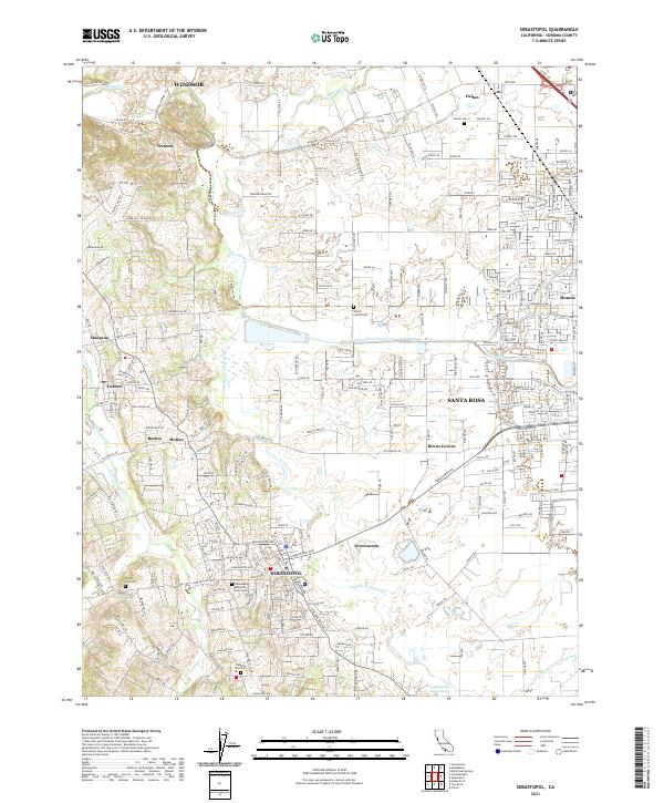
2021 Map of Sebastopol
USGS Topo · Published 2021About this map
Sebastopol and the western edge of Santa Rosa anchor this contemporary survey of Sonoma County, where agricultural legacies meet suburban expansion. The landscape is defined by the winding course of the Laguna de Santa Rosa and its tributaries, including Atascadero Cr and Mark West Creek. Smaller communities like Graton, Fulton, and Gravenstein reflect the area's long association with orchard culture and rail-era settlement patterns. For genealogists, the map preserves the locations of several burial grounds, such as the Steele Family Cem and Sebastopol Memorial Lawn Cem, while local landmarks like Vine Hill School Rd point to early rural education centers. The network of roads, from Bodega Hwy to Guerneville Rd, illustrates the connectivity between the Russian River valley and the Santa Rosa plain.
Find a feature on this map
63 named features on this map. Tap any name to fly to it.
Don’t see what you’re looking for? This feature index may not catch every label — zoom into the map to look around manually.
Map Details
Editions of this 2021 Sebastopol Map
This is the sole edition of this map. No revisions or reprints were ever made.
Other maps of this area

1916 · Santa Rosa
USGS Topo · 1:62,500

1920 · Healdsburg
USGS Topo · 1:62,500

1927 · Calistoga
USGS Topo · 1:62,500

1933 · Healdsburg
USGS Topo · 1:48,000

1935 · Sebastopol
USGS Topo · 1:48,000

1940 · Healdsburg
USGS Topo · 1:62,500

1942 · Sebastopol
USGS Topo · 1:62,500

1943 · Calistoga
USGS Topo · 1:62,500

1944 · Santa Rosa
USGS Topo · 1:62,500

1945 · Calistoga
USGS Topo · 1:62,500