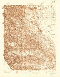
1935 Map of Sebastopol
USGS Topo · Published 1935About this map
The Northwestern Pacific railroad corridor and the Petaluma and Santa Rosa line anchor this mid-1930s survey of Sonoma County. The terrain transitions from the densely wooded hills of Joy Woods and the Redwood Grove in the west toward the alluvial plains of the Llano de Santa Rosa. These lowlands are defined by the intricate waterway of the Laguna de Santa Rosa and Atascadero Creek, which supported the region's famous apple orchards and agricultural hubs like Sebastopol and Graton.
Find a feature on this map
79 named features on this map. Tap any name to fly to it.
Don’t see what you’re looking for? This feature index may not catch every label — zoom into the map to look around manually.
Map Details
Editions of this 1935 Sebastopol Map
This is the sole edition of this map. No revisions or reprints were ever made.
Other maps of this area
1914 · Petaluma
USGS Topo · 1:62,500
1916 · Santa Rosa
USGS Topo · 1:62,500
1916 · Point Reyes
USGS Topo · 1:48,000
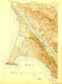
1918 · Point Reyes
USGS Topo · 1:62,500
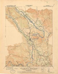
1920 · Healdsburg
USGS Topo · 1:62,500
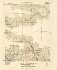
1921 · Skaggs
USGS Topo · 1:62,500
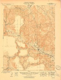
1927 · Calistoga
USGS Topo · 1:62,500
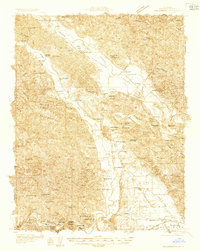
1933 · Healdsburg
USGS Topo · 1:48,000
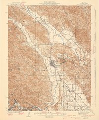
1940 · Healdsburg
USGS Topo · 1:62,500
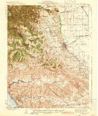
1942 · Sebastopol
USGS Topo · 1:62,500