
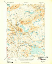
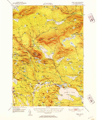
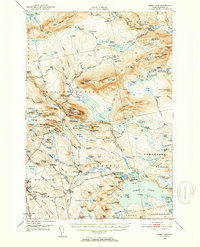
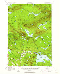
1950 Map of Sebec Lake
USGS Topo · Published 1952About this map
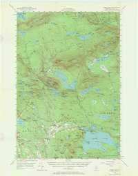
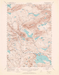
Boarstone Mountain and its surrounding peaks dominate this mid-century landscape in Piscataquis County, where the rugged North Woods of Maine are defined by a mix of heavy industry and wilderness recreation. The Canadian Pacific railroad cuts through the center of the sheet, serving remote settlements like Onawa and St Regis Depot Camp while providing access to the numerous ponds and streams that dot the region. To the south, the slate industry is evidenced by the density of extraction sites around Monson, including the Hillside Quarry and Eighteen Quarry Pond. The map also captures the local social fabric through landmarks like Finn Hall and the Sprague Sch, alongside the developing outdoor culture marked by the Appalachian Trail as it traverses the ridges toward Barren Mountain. Water-borne transportation and seasonal camps are centered around the shores of Sebec Lake at Earley Landing and Packard Landing.
Find a feature on this map
186 named features on this map. Tap any name to fly to it.
Don’t see what you’re looking for? This feature index may not catch every label — zoom into the map to look around manually.
Map Details
Editions of this 1950 Sebec Lake Map
7 editions found
Other maps of this area

1920 · Moosehead Lake
USGS Topo · 1:62,500

1922 · Moosehead Lake
USGS Topo · 1:62,500

1930 · Moosehead Lake
USGS Topo · 1:62,500

1932 · Dover-Foxcroft
USGS Topo · 1:48,000

1933 · Guilford
USGS Topo · 1:62,500

1935 · Dover-Foxcroft
USGS Topo · 1:62,500

1937 · Guilford
USGS Topo · 1:62,500

1940 · Sebec
USGS Topo · 1:48,000

1943 · Sebec
USGS Topo · 1:62,500

1944 · Moosehead Lake
USGS Topo · 1:62,500