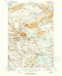
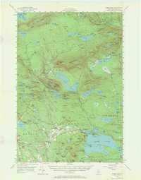
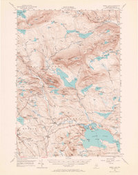
1950 Map of Sebec Lake
USGS Topo · Published 1954About this map
The slate industry and rail transport define this 1950 portrait of Piscataquis County, where the Monson town center serves as a hub for local extraction. Numerous slate workings, including Kineo Quarry and several Hillside Quarry sites, are concentrated near the Monson Cem, illustrating the industrial footprint of the era. To the north and east, the landscape shifts to a network of sporting camps and landings along the waters of Onawa Lake and Sebec Lake, accessible via the Canadian Pacific railroad. The rugged interior is traversed by the Appalachian Trail, which winds past Boarstone Mountain and Barren Mountain. Historical researchers will find significant detail in the various camps such as St Regis Depot Camp and Camp Twelve, alongside family-named landmarks like Goodell Corner and Earley Landing that mark the transition from industrial town to remote wilderness.
Find a feature on this map
175 named features on this map. Tap any name to fly to it.
Don’t see what you’re looking for? This feature index may not catch every label — zoom into the map to look around manually.
Map Details
Editions of this 1950 Sebec Lake Map
7 editions found

Other maps of this area

1920 · Moosehead Lake
USGS Topo · 1:62,500

1922 · Moosehead Lake
USGS Topo · 1:62,500

1930 · Moosehead Lake
USGS Topo · 1:62,500

1932 · Dover-Foxcroft
USGS Topo · 1:48,000

1933 · Guilford
USGS Topo · 1:62,500

1935 · Dover-Foxcroft
USGS Topo · 1:62,500

1937 · Guilford
USGS Topo · 1:62,500

1940 · Sebec
USGS Topo · 1:48,000

1943 · Sebec
USGS Topo · 1:62,500

1944 · Moosehead Lake
USGS Topo · 1:62,500