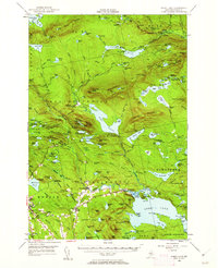
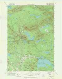
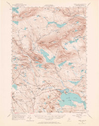
1950 Map of Sebec Lake
USGS Topo · Published 1962About this map
Monson and the surrounding slate-quarrying district define the southwestern landscape of this Piscataquis County region. The map highlights the industrial heritage of the area through features like Kineo Quarry and Farm Quarry No 1, alongside the infrastructure of the Canadian Pacific railroad which cuts through the mountainous terrain. The northern half of the sheet is dominated by a succession of peaks including Barren Mountain, Fourth Mtn, and East Chairback Mtn, with the Appalachian Trail threading through these heights.
Find a feature on this map
180 named features on this map. Tap any name to fly to it.
Don’t see what you’re looking for? This feature index may not catch every label — zoom into the map to look around manually.
Map Details
Editions of this 1950 Sebec Lake Map
7 editions found

Other maps of this area

1920 · Moosehead Lake
USGS Topo · 1:62,500

1922 · Moosehead Lake
USGS Topo · 1:62,500

1930 · Moosehead Lake
USGS Topo · 1:62,500

1932 · Dover-Foxcroft
USGS Topo · 1:48,000

1933 · Guilford
USGS Topo · 1:62,500

1935 · Dover-Foxcroft
USGS Topo · 1:62,500

1937 · Guilford
USGS Topo · 1:62,500

1940 · Sebec
USGS Topo · 1:48,000

1943 · Sebec
USGS Topo · 1:62,500

1944 · Moosehead Lake
USGS Topo · 1:62,500